Area Overview for IG8 9BZ
Photos of IG8 9BZ
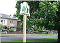
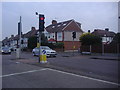
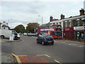
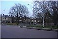
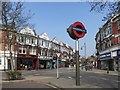

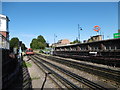
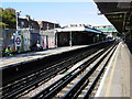
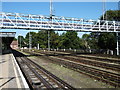
49 photos from this area
Area Information
Key information about the IG8 9BZ including its size, population, and administrative classification.
- Area Type
- Postcode
- Area Size
- 1.3 hectares
- Population
- 1557
- Population Density
- 7700 people/km²
House Prices in IG8 9BZ
25
Properties
£434,464
Average Sold Price
£115,000
Lowest Price
£1,050,000
Highest Price
Showing 25 properties
| Address | Type | Beds | Baths | Last Sale Price | Last Sale Date | |
|---|---|---|---|---|---|---|
| 9 Arundel Drive, Woodford Green, IG8 9BZ | Detached | 3 | 1 | £775,000 | Mar 2025 | |
| 11 Arundel Drive, Woodford Green, IG8 9BZ | house | 4 | 2 | £862,500 | Apr 2024 | |
| 3 Arundel Drive, Woodford Green, IG8 9BZ | Semi-detached | 4 | 3 | £1,050,000 | Sep 2022 | |
| 47 Arundel Drive, Woodford Green, IG8 9BZ | Semi-detached | 3 | 1 | £650,000 | Jun 2017 | |
| 23 Arundel Drive, Woodford Green, IG8 9BZ | Semi-detached | 4 | - | £699,000 | Jun 2016 | |
| 49 Arundel Drive, Woodford Green, IG8 9BZ | Detached | 3 | 1 | £650,000 | Feb 2016 | |
| 39 Arundel Drive, Woodford Green, IG8 9BZ | Semi-detached | 4 | 2 | £567,500 | Sep 2015 | |
| 41 Arundel Drive, Woodford Green, IG8 9BZ | house | - | - | £563,250 | Jun 2015 | |
| 29 Arundel Drive, Woodford Green, IG8 9BZ | house | 4 | - | £567,500 | Apr 2014 | |
| 31 Arundel Drive, Woodford Green, IG8 9BZ | house | - | - | £373,500 | Jan 2011 |
Page 1 of 3
Energy Efficiency in IG8 9BZ
Amenities
Schools
| Rank | School | Type | Entry gender | Ages |
|---|
Explore more schools in this area
Go to Schools tabDemographics
Household Size
Family (3-5 people)
most common
Accommodation Type
Houses
most common
Tenure
91
majority
Ethnic Group
White
most common
Religion
N/A
most common
Household Composition
N/A
most common
Age
47
median
Adults (30-64 years)
most common
Household Deprivation
N/A
with no deprivation
NS-SEC
55
in Lower managerial occupations
Explore more demographic insights in this area
Go to Demographics tabPlanning
Planning Constraints
- Flood RiskPremium
- Ramsar Wetland SitesPremium
- Area of Outstanding Natural BeautyPremium
- Protected Nature ReservePremium
- Protected WoodlandPremium