Area Overview for IG11 9HR
Photos of IG11 9HR
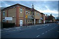
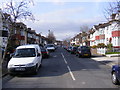
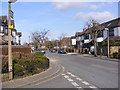
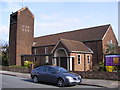
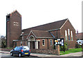
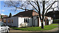
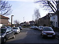
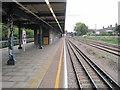
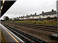
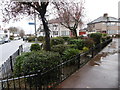
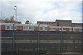
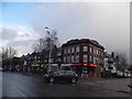
61 photos from this area
Area Information
Key information about the IG11 9HR including its size, population, and administrative classification.
- Area Type
- Postcode
- Area Size
- 5854 m²
- Population
- 2096
- Population Density
- 10454 people/km²
House Prices in IG11 9HR
17
Properties
£435,182
Average Sold Price
£77,000
Lowest Price
£595,000
Highest Price
Showing 17 properties
| Address | Type | Beds | Baths | Last Sale Price | Last Sale Date | |
|---|---|---|---|---|---|---|
| 98 Melford Avenue, Barking, IG11 9HR | Retail | 4 | 2 | £550,000 | May 2022 | |
| 105 Melford Avenue, Barking, IG11 9HR | house | - | - | £595,000 | Jun 2021 | |
| 102 Melford Avenue, Barking, IG11 9HR | house | - | - | £565,000 | Nov 2020 | |
| 99 Melford Avenue, Barking, IG11 9HR | house | - | - | £485,000 | May 2019 | |
| 91 Melford Avenue, Barking, IG11 9HR | Terraced | 3 | 1 | £526,000 | Aug 2017 | |
| 96 Melford Avenue, Barking, IG11 9HR | Terraced | 3 | 1 | £428,000 | Jun 2017 | |
| 103 Melford Avenue, Barking, IG11 9HR | Terraced | 1 | 1 | £425,000 | Oct 2016 | |
| 107 Melford Avenue, Barking, IG11 9HR | Semi-detached | 3 | 2 | £526,000 | Jan 2016 | |
| 100 Melford Avenue, Barking, IG11 9HR | Semi-detached | 4 | - | £340,000 | Dec 2012 | |
| 94 Melford Avenue, Barking, IG11 9HR | house | - | - | £270,000 | Oct 2010 |
Page 1 of 2
Energy Efficiency in IG11 9HR
Amenities
Schools
| Rank | School | Type | Entry gender | Ages |
|---|
Explore more schools in this area
Go to Schools tabDemographics
Household Size
Family (3-5 people)
most common
Accommodation Type
Houses
most common
Tenure
84
majority
Ethnic Group
asian_total
most common
Religion
N/A
most common
Household Composition
N/A
most common
Age
47
median
Adults (30-64 years)
most common
Household Deprivation
N/A
with no deprivation
NS-SEC
32
in Lower managerial occupations
Explore more demographic insights in this area
Go to Demographics tabPlanning
Planning Constraints
- Flood RiskPremium
- Ramsar Wetland SitesPremium
- Area of Outstanding Natural BeautyPremium
- Protected Nature ReservePremium
- Protected WoodlandPremium