Area Overview for IG11 9BL
Photos of IG11 9BL
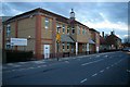
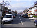
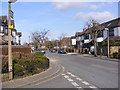
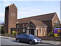
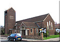
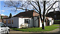
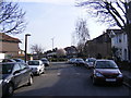
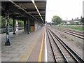
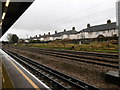
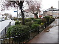
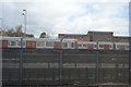
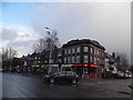
61 photos from this area
Area Information
Key information about the IG11 9BL including its size, population, and administrative classification.
- Area Type
- Postcode
- Area Size
- 2.5 hectares
- Population
- 2096
- Population Density
- 10454 people/km²
House Prices in IG11 9BL
36
Properties
£293,500
Average Sold Price
£80,000
Lowest Price
£685,000
Highest Price
Showing 36 properties
| Address | Type | Beds | Baths | Last Sale Price | Last Sale Date | |
|---|---|---|---|---|---|---|
| 79 Westrow Drive, Barking, IG11 9BL | Terraced | 5 | 2 | £625,000 | Jan 2025 | |
| 29 Westrow Drive, Barking, IG11 9BL | Semi-detached | 4 | 3 | £685,000 | Dec 2021 | |
| 33 Westrow Drive, Barking, IG11 9BL | Terraced | 3 | 1 | £520,000 | Oct 2019 | |
| 97 Westrow Drive, Barking, IG11 9BL | Terraced | 6 | 2 | £570,000 | Nov 2018 | |
| 99 Westrow Drive, Barking, IG11 9BL | Terraced | 6 | 2 | £410,000 | Sep 2015 | |
| 67 Westrow Drive, Barking, IG11 9BL | house | - | - | £250,000 | Jan 2014 | |
| 65 Westrow Drive, Barking, IG11 9BL | house | - | - | £298,000 | Oct 2011 | |
| 55 Westrow Drive, Barking, IG11 9BL | house | - | - | £280,000 | Jul 2010 | |
| 39 Westrow Drive, Barking, IG11 9BL | house | - | - | £270,000 | Sep 2009 | |
| 87 Westrow Drive, Barking, IG11 9BL | Terraced | - | - | £290,000 | Oct 2008 |
Page 1 of 4
Energy Efficiency in IG11 9BL
Amenities
Schools
| Rank | School | Type | Entry gender | Ages |
|---|
Explore more schools in this area
Go to Schools tabDemographics
Household Size
Family (3-5 people)
most common
Accommodation Type
Houses
most common
Tenure
84
majority
Ethnic Group
asian_total
most common
Religion
N/A
most common
Household Composition
N/A
most common
Age
47
median
Adults (30-64 years)
most common
Household Deprivation
N/A
with no deprivation
NS-SEC
32
in Lower managerial occupations
Explore more demographic insights in this area
Go to Demographics tabPlanning
Planning Constraints
- Flood RiskPremium
- Ramsar Wetland SitesPremium
- Area of Outstanding Natural BeautyPremium
- Protected Nature ReservePremium
- Protected WoodlandPremium