Area Overview for IG11 8RJ
Photos of IG11 8RJ
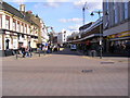
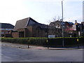
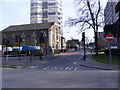
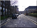
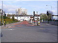
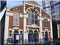
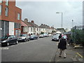
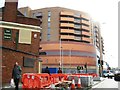
100 photos from this area
Area Information
Key information about the IG11 8RJ including its size, population, and administrative classification.
- Area Type
- Postcode
- Area Size
- 2.0 hectares
- Population
- 2908
- Population Density
- 14540 people/km²
House Prices in IG11 8RJ
34
Properties
£270,417
Average Sold Price
£142,000
Lowest Price
£450,000
Highest Price
Showing 34 properties
| Address | Type | Beds | Baths | Last Sale Price | Last Sale Date | |
|---|---|---|---|---|---|---|
| 43 Harpour Road, Barking, IG11 8RJ | Terraced | 3 | 1 | £450,000 | May 2025 | |
| 33 Harpour Road, Barking, IG11 8RJ | Terraced | 3 | 2 | £450,000 | Mar 2025 | |
| 57 Harpour Road, Barking, IG11 8RJ | Terraced | 3 | 1 | £393,000 | Jan 2018 | |
| 59 Harpour Road, Barking, IG11 8RJ | Terraced | 1 | 1 | £275,000 | Nov 2017 | |
| 75 Harpour Road, Barking, IG11 8RJ | Flat | - | - | £215,000 | Mar 2017 | |
| 45 Harpour Road, Barking, IG11 8RJ | Terraced | 3 | 1 | £335,000 | May 2016 | |
| 55 Harpour Road, Barking, IG11 8RJ | Terraced | 3 | 1 | £220,000 | Jan 2014 | |
| 47 Harpour Road, Barking, IG11 8RJ | house | 3 | - | £212,000 | Jan 2011 | |
| 77 Harpour Road, Barking, IG11 8RJ | Flat | - | - | £142,000 | Feb 2008 | |
| 39 Harpour Road, Barking, IG11 8RJ | Terraced | 4 | 3 | £235,000 | Sep 2007 |
Page 1 of 4
Energy Efficiency in IG11 8RJ
Amenities
Schools
| Rank | School | Type | Entry gender | Ages |
|---|
Explore more schools in this area
Go to Schools tabDemographics
Household Size
One person
most common
Accommodation Type
Flats
most common
Tenure
27
majority
Ethnic Group
asian_total
most common
Religion
N/A
most common
Household Composition
N/A
most common
Age
47
median
Adults (30-64 years)
most common
Household Deprivation
N/A
with no deprivation
NS-SEC
29
in Lower managerial occupations
Explore more demographic insights in this area
Go to Demographics tabPlanning
Planning Constraints
- Flood RiskPremium
- Ramsar Wetland SitesPremium
- Area of Outstanding Natural BeautyPremium
- Protected Nature ReservePremium
- Protected WoodlandPremium