Area Overview for IG11 7QR
Photos of IG11 7QR
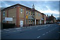
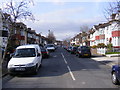
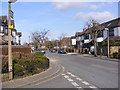
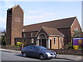
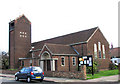
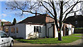
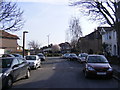
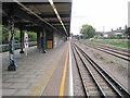
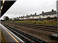
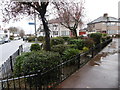
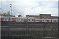
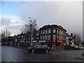
61 photos from this area
Area Information
Key information about the IG11 7QR including its size, population, and administrative classification.
- Area Type
- Postcode
- Area Size
- 7765 m²
- Population
- 1988
- Population Density
- 11641 people/km²
House Prices in IG11 7QR
32
Properties
£235,154
Average Sold Price
£69,995
Lowest Price
£420,000
Highest Price
Showing 32 properties
| Address | Type | Beds | Baths | Last Sale Price | Last Sale Date | |
|---|---|---|---|---|---|---|
| 17 Norfolk Road, Barking, IG11 7QR | Terraced | 2 | - | £289,000 | Mar 2023 | |
| 26 Norfolk Road, Barking, IG11 7QR | Terraced | 3 | 1 | £420,000 | May 2022 | |
| 19 Norfolk Road, Barking, IG11 7QR | Terraced | 2 | 1 | £345,000 | Aug 2019 | |
| 30 Norfolk Road, Barking, IG11 7QR | Terraced | 4 | 1 | £310,000 | Mar 2019 | |
| 21 Norfolk Road, Barking, IG11 7QR | Terraced | 2 | 1 | £260,000 | Jan 2018 | |
| 18 Norfolk Road, Barking, IG11 7QR | Terraced | 3 | 1 | £330,000 | Jan 2018 | |
| 4 Norfolk Road, Barking, IG11 7QR | Terraced | 3 | 2 | £375,000 | May 2017 | |
| 25 Norfolk Road, Barking, IG11 7QR | Terraced | 3 | 1 | £283,000 | Jun 2016 | |
| 27 Norfolk Road, Barking, IG11 7QR | house | 3 | - | £284,000 | Mar 2016 | |
| 16 Norfolk Road, Barking, IG11 7QR | Terraced | 2 | 1 | £290,000 | Dec 2015 |
Page 1 of 4
Energy Efficiency in IG11 7QR
Amenities
Schools
| Rank | School | Type | Entry gender | Ages |
|---|
Explore more schools in this area
Go to Schools tabDemographics
Household Size
Family (3-5 people)
most common
Accommodation Type
Houses
most common
Tenure
45
majority
Ethnic Group
White
most common
Religion
N/A
most common
Household Composition
N/A
most common
Age
47
median
Adults (30-64 years)
most common
Household Deprivation
N/A
with no deprivation
NS-SEC
19
in Lower managerial occupations
Explore more demographic insights in this area
Go to Demographics tabPlanning
Planning Constraints
- Flood RiskPremium
- Ramsar Wetland SitesPremium
- Area of Outstanding Natural BeautyPremium
- Protected Nature ReservePremium
- Protected WoodlandPremium