Area Overview for IG1 4RF
Photos of IG1 4RF
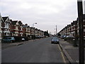
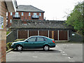
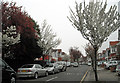
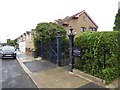
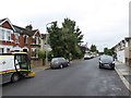
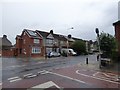
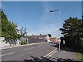
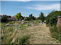
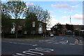
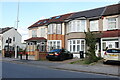

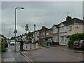
53 photos from this area
Area Information
Key information about the IG1 4RF including its size, population, and administrative classification.
- Area Type
- Postcode
- Area Size
- 1.4 hectares
- Population
- 1636
- Population Density
- 12575 people/km²
House Prices in IG1 4RF
59
Properties
£301,260
Average Sold Price
£34,570
Lowest Price
£575,000
Highest Price
Showing 59 properties
| Address | Type | Beds | Baths | Last Sale Price | Last Sale Date | |
|---|---|---|---|---|---|---|
| 285 Coventry Road, Ilford, IG1 4RF | Terraced | 3 | 2 | £305,000 | Sep 2025 | |
| 271 Coventry Road, Ilford, IG1 4RF | Terraced | 3 | 1 | £540,000 | Mar 2025 | |
| 265 Coventry Road, Ilford, IG1 4RF | house | 3 | - | £540,000 | May 2024 | |
| 235 Coventry Road, Ilford, IG1 4RF | house | - | - | £550,000 | May 2023 | |
| 227 Coventry Road, Ilford, IG1 4RF | Terraced | 3 | - | £575,000 | Mar 2019 | |
| 211 Coventry Road, Ilford, IG1 4RF | house | - | - | £552,000 | Aug 2018 | |
| 295 Coventry Road, Ilford, IG1 4RF | Terraced | 3 | 1 | £475,000 | Mar 2018 | |
| 269 Coventry Road, Ilford, IG1 4RF | Terraced | 3 | 1 | £453,000 | Feb 2018 | |
| 253 Coventry Road, Ilford, IG1 4RF | house | - | - | £550,000 | Aug 2017 | |
| 239 Coventry Road, Ilford, IG1 4RF | Terraced | 3 | - | £415,000 | Oct 2016 |
Page 1 of 6
Energy Efficiency in IG1 4RF
Amenities
Schools
| Rank | School | Type | Entry gender | Ages |
|---|
Explore more schools in this area
Go to Schools tabDemographics
Household Size
Family (3-5 people)
most common
Accommodation Type
Houses
most common
Tenure
70
majority
Ethnic Group
asian_total
most common
Religion
N/A
most common
Household Composition
N/A
most common
Age
47
median
Adults (30-64 years)
most common
Household Deprivation
N/A
with no deprivation
NS-SEC
37
in Lower managerial occupations
Explore more demographic insights in this area
Go to Demographics tabPlanning
Planning Constraints
- Flood RiskPremium
- Ramsar Wetland SitesPremium
- Area of Outstanding Natural BeautyPremium
- Protected Nature ReservePremium
- Protected WoodlandPremium