Area Overview for HA8 9UP
Photos of HA8 9UP
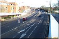
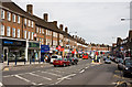
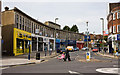

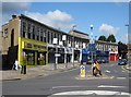
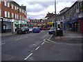
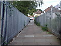
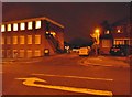
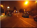
60 photos from this area
Area Information
Key information about the HA8 9UP including its size, population, and administrative classification.
- Area Type
- Postcode
- Area Size
- 8008 m²
- Population
- 1997
- Population Density
- 7032 people/km²
House Prices in HA8 9UP
17
Properties
£585,000
Average Sold Price
£187,000
Lowest Price
£870,000
Highest Price
Showing 17 properties
| Address | Type | Beds | Baths | Last Sale Price | Last Sale Date | |
|---|---|---|---|---|---|---|
| 5 St Margarets Road, Edgware, HA8 9UP | house | - | - | £870,000 | Sep 2025 | |
| 4 St Margarets Road, Edgware, HA8 9UP | Semi-detached | 2 | 1 | £655,000 | Aug 2025 | |
| Mount View, St Margarets Road, Edgware, HA8 9UP | Semi-detached | 3 | 1 | £670,000 | Aug 2024 | |
| 14 St Margarets Road, Edgware, HA8 9UP | house | - | - | £715,000 | Jun 2021 | |
| 10 St Margarets Road, Edgware, HA8 9UP | house | - | - | £630,000 | Nov 2020 | |
| 11 St Margarets Road, Edgware, HA8 9UP | Detached | 4 | - | £810,000 | Aug 2015 | |
| 9 St Margarets Road, Edgware, HA8 9UP | Semi-detached | 7 | 2 | £558,000 | Jun 2013 | |
| 3 St Margarets Road, Edgware, HA8 9UP | Semi-detached | 4 | 1 | £535,000 | Oct 2007 | |
| 12 St Margarets Road, Edgware, HA8 9UP | Semi-detached | - | - | £220,000 | Jan 2002 | |
| White Lodge, St Margarets Road, Edgware, HA8 9UP | Semi-detached | - | - | £187,000 | Jul 1997 |
Page 1 of 2
Energy Efficiency in HA8 9UP
Amenities
Schools
| Rank | School | Type | Entry gender | Ages |
|---|
Explore more schools in this area
Go to Schools tabDemographics
Household Size
Family (3-5 people)
most common
Accommodation Type
Houses
most common
Tenure
55
majority
Ethnic Group
White
most common
Religion
N/A
most common
Household Composition
N/A
most common
Age
47
median
Adults (30-64 years)
most common
Household Deprivation
N/A
with no deprivation
NS-SEC
36
in Lower managerial occupations
Explore more demographic insights in this area
Go to Demographics tabPlanning
Planning Constraints
- Flood RiskPremium
- Ramsar Wetland SitesPremium
- Area of Outstanding Natural BeautyPremium
- Protected Nature ReservePremium
- Protected WoodlandPremium