Area Overview for HA7 2EW
Photos of HA7 2EW
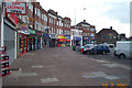
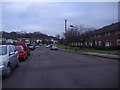
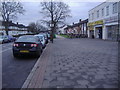

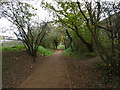
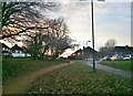
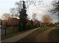
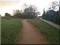
57 photos from this area
Area Information
Key information about the HA7 2EW including its size, population, and administrative classification.
- Area Type
- Postcode
- Area Size
- 7252 m²
- Population
- 2200
- Population Density
- 8076 people/km²
House Prices in HA7 2EW
20
Properties
£367,033
Average Sold Price
£145,000
Lowest Price
£805,000
Highest Price
Showing 20 properties
| Address | Type | Beds | Baths | Last Sale Price | Last Sale Date | |
|---|---|---|---|---|---|---|
| 91 Weston Drive, Stanmore, HA7 2EW | house | 5 | 2 | £805,000 | Jun 2021 | |
| 63 Weston Drive, Stanmore, HA7 2EW | Semi-detached | 3 | 2 | £510,000 | Sep 2019 | |
| 85 Weston Drive, Stanmore, HA7 2EW | Semi-detached | 4 | 3 | £663,000 | Jul 2017 | |
| 65 Weston Drive, Stanmore, HA7 2EW | Semi-detached | 3 | - | £368,000 | Sep 2013 | |
| 69 Weston Drive, Stanmore, HA7 2EW | Detached | 4 | 2 | £499,000 | Jan 2011 | |
| 75 Weston Drive, Stanmore, HA7 2EW | Terraced | - | - | £316,000 | Jan 2007 | |
| 67 Weston Drive, Stanmore, HA7 2EW | Semi-detached | 3 | 1 | £295,000 | Nov 2006 | |
| 89 Weston Drive, Stanmore, HA7 2EW | Semi-detached | - | - | £335,000 | Apr 2006 | |
| 97 Weston Drive, Stanmore, HA7 2EW | Semi-detached | - | - | £435,000 | Jul 2005 | |
| 61 Weston Drive, Stanmore, HA7 2EW | Semi-detached | 3 | 1 | £283,000 | May 2004 |
Page 1 of 2
Energy Efficiency in HA7 2EW
Amenities
Schools
| Rank | School | Type | Entry gender | Ages |
|---|
Explore more schools in this area
Go to Schools tabDemographics
Household Size
Family (3-5 people)
most common
Accommodation Type
Houses
most common
Tenure
67
majority
Ethnic Group
asian_total
most common
Religion
N/A
most common
Household Composition
N/A
most common
Age
47
median
Adults (30-64 years)
most common
Household Deprivation
N/A
with no deprivation
NS-SEC
31
in Lower managerial occupations
Explore more demographic insights in this area
Go to Demographics tabPlanning
Planning Constraints
- Flood RiskPremium
- Ramsar Wetland SitesPremium
- Area of Outstanding Natural BeautyPremium
- Protected Nature ReservePremium
- Protected WoodlandPremium