Area Overview for HA6 3AL
Photos of HA6 3AL
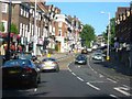
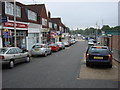
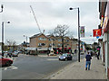
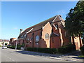
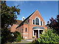
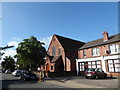
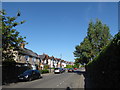
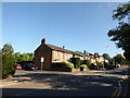
97 photos from this area
Area Information
Key information about the HA6 3AL including its size, population, and administrative classification.
- Area Type
- Postcode
- Area Size
- 1.2 hectares
- Population
- 1354
- Population Density
- 4269 people/km²
House Prices in HA6 3AL
20
Properties
£1,365,989
Average Sold Price
£499,950
Lowest Price
£2,400,000
Highest Price
Showing 20 properties
| Address | Type | Beds | Baths | Last Sale Price | Last Sale Date | |
|---|---|---|---|---|---|---|
| 14 Eastbury Road, Northwood, HA6 3AL | Detached | 7 | 6 | £2,400,000 | Apr 2024 | |
| 28 Eastbury Road, Northwood, HA6 3AL | Semi-detached | 2 | 1 | £499,950 | Feb 2021 | |
| 18 Eastbury Road, Northwood, HA6 3AL | house | 5 | - | £1,364,004 | Jul 2013 | |
| 22 Eastbury Road, Northwood, HA6 3AL | Detached | 5 | 3 | £1,200,000 | Aug 2007 | |
| Flat 2, Woodsman Court, 24 Eastbury Road, Northwood, HA6 3AL | Flat | 3 | 2 | - | - | |
| 10 Eastbury Road, Northwood, HA6 3AL | Detached | 4 | 3 | - | - | |
| 28C Eastbury Road, Northwood, HA6 3AL | Maisonette | 2 | 1 | - | - | |
| 26B Eastbury Road, Northwood, HA6 3AL | Flat | 2 | - | - | - | |
| Flat 1, Woodsman Court, 24 Eastbury Road, Northwood, HA6 3AL | Flat | 6 | - | - | - | |
| 26C Eastbury Road, Northwood, HA6 3AL | house | - | - | - | - |
Page 1 of 2
Energy Efficiency in HA6 3AL
Amenities
Schools
| Rank | School | Type | Entry gender | Ages |
|---|
Explore more schools in this area
Go to Schools tabDemographics
Household Size
Two person
most common
Accommodation Type
Houses
most common
Tenure
58
majority
Ethnic Group
White
most common
Religion
N/A
most common
Household Composition
N/A
most common
Age
47
median
Adults (30-64 years)
most common
Household Deprivation
N/A
with no deprivation
NS-SEC
53
in Lower managerial occupations
Explore more demographic insights in this area
Go to Demographics tabPlanning
Planning Constraints
- Flood RiskPremium
- Ramsar Wetland SitesPremium
- Area of Outstanding Natural BeautyPremium
- Protected Nature ReservePremium
- Protected WoodlandPremium