Area Overview for HA4 0RY
Photos of HA4 0RY
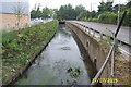
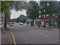
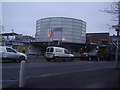
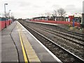
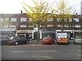
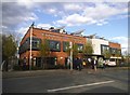
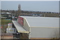
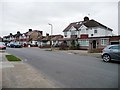
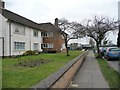
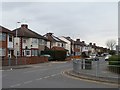
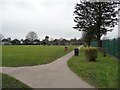
93 photos from this area
Area Information
Key information about the HA4 0RY including its size, population, and administrative classification.
- Area Type
- Postcode
- Area Size
- 7199 m²
- Population
- 1414
- Population Density
- 3572 people/km²
House Prices in HA4 0RY
19
Properties
£383,688
Average Sold Price
£111,000
Lowest Price
£700,000
Highest Price
Showing 19 properties
| Address | Type | Beds | Baths | Last Sale Price | Last Sale Date | |
|---|---|---|---|---|---|---|
| 16 The Fairway, Ruislip, HA4 0RY | Semi-detached | 4 | 3 | £420,000 | Mar 2025 | |
| 18 The Fairway, Ruislip, HA4 0RY | Detached | 3 | 1 | £562,000 | Feb 2025 | |
| 48 The Fairway, Ruislip, HA4 0RY | Flat | - | - | £390,000 | Jul 2023 | |
| 40 The Fairway, Ruislip, HA4 0RY | Semi-detached | 4 | 2 | £700,000 | Feb 2022 | |
| 42 The Fairway, Ruislip, HA4 0RY | Semi-detached | 4 | - | £570,000 | Jan 2019 | |
| 44 The Fairway, Ruislip, HA4 0RY | house | - | - | £554,500 | Oct 2015 | |
| 28 The Fairway, Ruislip, HA4 0RY | Semi-detached | 3 | 1 | £342,000 | Apr 2013 | |
| 24 The Fairway, Ruislip, HA4 0RY | house | 3 | - | £345,000 | Feb 2013 | |
| 14 The Fairway, Ruislip, HA4 0RY | Semi-detached | 3 | 2 | £315,000 | Jun 2006 | |
| 38 The Fairway, Ruislip, HA4 0RY | Semi-detached | - | - | £285,000 | Sep 2005 |
Page 1 of 2
Energy Efficiency in HA4 0RY
Amenities
Schools
| Rank | School | Type | Entry gender | Ages |
|---|
Explore more schools in this area
Go to Schools tabDemographics
Household Size
Family (3-5 people)
most common
Accommodation Type
Houses
most common
Tenure
81
majority
Ethnic Group
White
most common
Religion
N/A
most common
Household Composition
N/A
most common
Age
47
median
Adults (30-64 years)
most common
Household Deprivation
N/A
with no deprivation
NS-SEC
41
in Lower managerial occupations
Explore more demographic insights in this area
Go to Demographics tabPlanning
Planning Constraints
- Flood RiskPremium
- Ramsar Wetland SitesPremium
- Area of Outstanding Natural BeautyPremium
- Protected Nature ReservePremium
- Protected WoodlandPremium