Area Overview for HA3 8NQ
Photos of HA3 8NQ
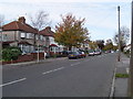
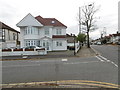
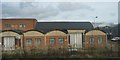
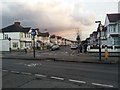
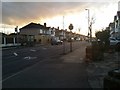
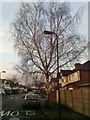
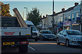
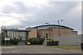
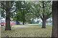
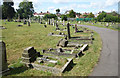
41 photos from this area
Area Information
Key information about the HA3 8NQ including its size, population, and administrative classification.
- Area Type
- Postcode
- Area Size
- 1.1 hectares
- Population
- 1568
- Population Density
- 7539 people/km²
House Prices in HA3 8NQ
33
Properties
£315,444
Average Sold Price
£96,000
Lowest Price
£652,000
Highest Price
Showing 33 properties
| Address | Type | Beds | Baths | Last Sale Price | Last Sale Date | |
|---|---|---|---|---|---|---|
| 41 Larkfield Avenue, Kenton, HA3 8NQ | house | 3 | 1 | £590,000 | Jun 2023 | |
| 9 Larkfield Avenue, Kenton, HA3 8NQ | Semi-detached | 4 | 3 | £640,000 | Mar 2018 | |
| 47 Larkfield Avenue, Kenton, HA3 8NQ | Semi-detached | 4 | 2 | £652,000 | Dec 2017 | |
| 19 Larkfield Avenue, Kenton, HA3 8NQ | house | - | - | £438,000 | Jun 2016 | |
| 53 Larkfield Avenue, Kenton, HA3 8NQ | Detached | 4 | 3 | £400,000 | Jun 2014 | |
| 3 Larkfield Avenue, Kenton, HA3 8NQ | Semi-detached | 3 | - | £367,000 | Sep 2013 | |
| 27 Larkfield Avenue, Kenton, HA3 8NQ | house | - | - | £310,000 | Sep 2009 | |
| 21 Larkfield Avenue, Kenton, HA3 8NQ | Semi-detached | - | - | £263,000 | Feb 2009 | |
| 39 Larkfield Avenue, Kenton, HA3 8NQ | Semi-detached | - | - | £355,000 | Jul 2007 | |
| 23 Larkfield Avenue, Kenton, HA3 8NQ | house | 3 | 1 | £315,000 | Jun 2007 |
Page 1 of 4
Energy Efficiency in HA3 8NQ
Amenities
Schools
| Rank | School | Type | Entry gender | Ages |
|---|
Explore more schools in this area
Go to Schools tabDemographics
Household Size
Family (3-5 people)
most common
Accommodation Type
Houses
most common
Tenure
78
majority
Ethnic Group
asian_total
most common
Religion
N/A
most common
Household Composition
N/A
most common
Age
47
median
Adults (30-64 years)
most common
Household Deprivation
N/A
with no deprivation
NS-SEC
32
in Lower managerial occupations
Explore more demographic insights in this area
Go to Demographics tabPlanning
Planning Constraints
- Flood RiskPremium
- Ramsar Wetland SitesPremium
- Area of Outstanding Natural BeautyPremium
- Protected Nature ReservePremium
- Protected WoodlandPremium