Area Overview for HA2 9QQ
Photos of HA2 9QQ
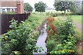
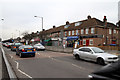
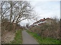
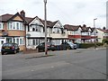
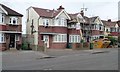
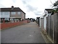
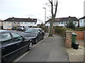
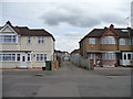
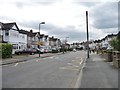
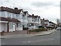
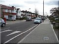
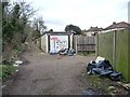
34 photos from this area
Area Information
Key information about the HA2 9QQ including its size, population, and administrative classification.
- Area Type
- Postcode
- Area Size
- 1.3 hectares
- Population
- 1773
- Population Density
- 9774 people/km²
House Prices in HA2 9QQ
39
Properties
£276,385
Average Sold Price
£97,000
Lowest Price
£600,000
Highest Price
Showing 39 properties
| Address | Type | Beds | Baths | Last Sale Price | Last Sale Date | |
|---|---|---|---|---|---|---|
| 49 Torbay Road, South Harrow, HA2 9QQ | Terraced | 4 | 2 | £585,000 | Feb 2025 | |
| 21 Torbay Road, South Harrow, HA2 9QQ | Retail | 3 | 2 | £600,000 | Nov 2022 | |
| 17 Torbay Road, South Harrow, HA2 9QQ | Terraced | 4 | 3 | £500,000 | Sep 2019 | |
| 1 Torbay Road, South Harrow, HA2 9QQ | house | - | - | £180,000 | Aug 2019 | |
| 29 Torbay Road, South Harrow, HA2 9QQ | Terraced | 3 | - | £393,000 | Dec 2018 | |
| 13 Torbay Road, South Harrow, HA2 9QQ | Terraced | 3 | 1 | £408,000 | May 2015 | |
| 39 Torbay Road, South Harrow, HA2 9QQ | Terraced | 3 | - | £382,000 | Mar 2015 | |
| 5 Torbay Road, South Harrow, HA2 9QQ | Terraced | 3 | 1 | £390,000 | Mar 2015 | |
| 7 Torbay Road, South Harrow, HA2 9QQ | Terraced | - | - | £192,000 | Feb 2013 | |
| 75 Torbay Road, South Harrow, HA2 9QQ | house | - | - | £100,000 | May 2011 |
Page 1 of 4
Energy Efficiency in HA2 9QQ
Amenities
Schools
| Rank | School | Type | Entry gender | Ages |
|---|
Explore more schools in this area
Go to Schools tabDemographics
Household Size
Family (3-5 people)
most common
Accommodation Type
Houses
most common
Tenure
77
majority
Ethnic Group
asian_total
most common
Religion
N/A
most common
Household Composition
N/A
most common
Age
47
median
Adults (30-64 years)
most common
Household Deprivation
N/A
with no deprivation
NS-SEC
32
in Lower managerial occupations
Explore more demographic insights in this area
Go to Demographics tabPlanning
Planning Constraints
- Flood RiskPremium
- Ramsar Wetland SitesPremium
- Area of Outstanding Natural BeautyPremium
- Protected Nature ReservePremium
- Protected WoodlandPremium