Area Overview for HA2 0SH
Photos of HA2 0SH
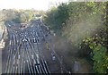
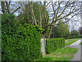
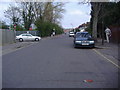
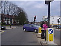
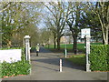
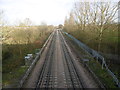

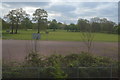

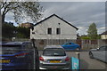
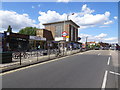
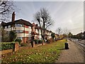
51 photos from this area
Area Information
Key information about the HA2 0SH including its size, population, and administrative classification.
- Area Type
- Postcode
- Area Size
- 1.4 hectares
- Population
- 1936
- Population Density
- 5372 people/km²
House Prices in HA2 0SH
37
Properties
£418,038
Average Sold Price
£103,000
Lowest Price
£900,000
Highest Price
Showing 37 properties
| Address | Type | Beds | Baths | Last Sale Price | Last Sale Date | |
|---|---|---|---|---|---|---|
| 17 Twyford Road, West Harrow, HA2 0SH | Semi-detached | 4 | 3 | £745,000 | May 2025 | |
| 7 Twyford Road, West Harrow, HA2 0SH | Semi-detached | 5 | 3 | £536,000 | Mar 2025 | |
| 43 Twyford Road, West Harrow, HA2 0SH | Semi-detached | 3 | 1 | £595,000 | Nov 2024 | |
| 29 Twyford Road, West Harrow, HA2 0SH | house | 3 | 1 | £635,000 | Mar 2023 | |
| 55 Twyford Road, West Harrow, HA2 0SH | Retail | 3 | 1 | £601,000 | Oct 2022 | |
| 19 Twyford Road, West Harrow, HA2 0SH | house | 3 | - | £900,000 | Mar 2022 | |
| 41 Twyford Road, West Harrow, HA2 0SH | house | - | - | £360,000 | Jun 2021 | |
| 33 Twyford Road, West Harrow, HA2 0SH | Semi-detached | 4 | 2 | £520,000 | May 2019 | |
| 61 Twyford Road, West Harrow, HA2 0SH | Semi-detached | 3 | 1 | £435,000 | Nov 2018 | |
| 53 Twyford Road, West Harrow, HA2 0SH | Semi-detached | 4 | 2 | £637,500 | May 2018 |
Page 1 of 4
Energy Efficiency in HA2 0SH
Amenities
Schools
| Rank | School | Type | Entry gender | Ages |
|---|
Explore more schools in this area
Go to Schools tabDemographics
Household Size
Family (3-5 people)
most common
Accommodation Type
Houses
most common
Tenure
62
majority
Ethnic Group
asian_total
most common
Religion
N/A
most common
Household Composition
N/A
most common
Age
47
median
Adults (30-64 years)
most common
Household Deprivation
N/A
with no deprivation
NS-SEC
44
in Lower managerial occupations
Explore more demographic insights in this area
Go to Demographics tabPlanning
Planning Constraints
- Flood RiskPremium
- Ramsar Wetland SitesPremium
- Area of Outstanding Natural BeautyPremium
- Protected Nature ReservePremium
- Protected WoodlandPremium