Area Overview for HA2 0RR
Photos of HA2 0RR
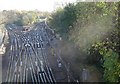
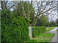
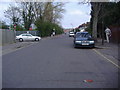
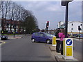
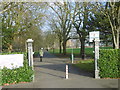
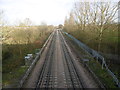
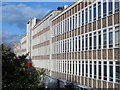
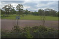

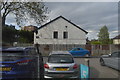
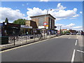
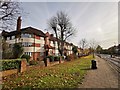
51 photos from this area
Area Information
Key information about the HA2 0RR including its size, population, and administrative classification.
- Area Type
- Postcode
- Area Size
- 8205 m²
- Population
- 1902
- Population Density
- 8083 people/km²
House Prices in HA2 0RR
26
Properties
£314,205
Average Sold Price
£92,000
Lowest Price
£625,000
Highest Price
Showing 26 properties
| Address | Type | Beds | Baths | Last Sale Price | Last Sale Date | |
|---|---|---|---|---|---|---|
| 62 Welbeck Road, West Harrow, HA2 0RR | Semi-detached | 3 | 1 | £590,000 | Mar 2025 | |
| 90 Welbeck Road, West Harrow, HA2 0RR | Detached | 3 | 1 | £547,500 | Jul 2022 | |
| 92 Welbeck Road, West Harrow, HA2 0RR | Semi-detached | - | - | £500,000 | Apr 2021 | |
| 80 Welbeck Road, West Harrow, HA2 0RR | Semi-detached | 5 | 3 | £625,000 | Feb 2018 | |
| 94 Welbeck Road, West Harrow, HA2 0RR | house | 3 | - | £455,000 | Oct 2014 | |
| 70 Welbeck Road, West Harrow, HA2 0RR | Semi-detached | 4 | 2 | £410,000 | Nov 2013 | |
| 56 Welbeck Road, West Harrow, HA2 0RR | Semi-detached | 3 | 2 | £486,000 | Jul 2013 | |
| 88 Welbeck Road, West Harrow, HA2 0RR | house | - | - | £234,000 | Mar 2004 | |
| 58 Welbeck Road, West Harrow, HA2 0RR | Semi-detached | - | - | £264,950 | Sep 2003 | |
| 72 Welbeck Road, West Harrow, HA2 0RR | Semi-detached | - | - | £250,000 | Jun 2003 |
Page 1 of 3
Energy Efficiency in HA2 0RR
Amenities
Schools
| Rank | School | Type | Entry gender | Ages |
|---|
Explore more schools in this area
Go to Schools tabDemographics
Household Size
Family (3-5 people)
most common
Accommodation Type
Houses
most common
Tenure
56
majority
Ethnic Group
asian_total
most common
Religion
N/A
most common
Household Composition
N/A
most common
Age
47
median
Adults (30-64 years)
most common
Household Deprivation
N/A
with no deprivation
NS-SEC
33
in Lower managerial occupations
Explore more demographic insights in this area
Go to Demographics tabPlanning
Planning Constraints
- Flood RiskPremium
- Ramsar Wetland SitesPremium
- Area of Outstanding Natural BeautyPremium
- Protected Nature ReservePremium
- Protected WoodlandPremium