Area Overview for HA2 0PU
Photos of HA2 0PU
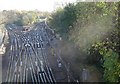
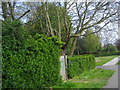
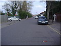
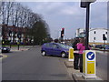
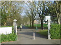
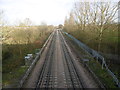
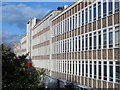
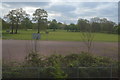

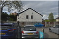
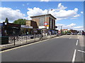
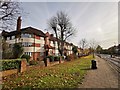
51 photos from this area
Area Information
Key information about the HA2 0PU including its size, population, and administrative classification.
- Area Type
- Postcode
- Area Size
- 1.5 hectares
- Population
- 1610
- Population Density
- 10960 people/km²
House Prices in HA2 0PU
53
Properties
£270,736
Average Sold Price
£65,000
Lowest Price
£500,000
Highest Price
Showing 53 properties
| Address | Type | Beds | Baths | Last Sale Price | Last Sale Date | |
|---|---|---|---|---|---|---|
| 124 Abercorn Crescent, South Harrow, HA2 0PU | house | - | - | £500,000 | Sep 2025 | |
| 156 Abercorn Crescent, South Harrow, HA2 0PU | Flat | 2 | 1 | £292,000 | Jun 2021 | |
| 160 Abercorn Crescent, South Harrow, HA2 0PU | Terraced | 3 | 1 | £418,000 | Apr 2019 | |
| 100 Abercorn Crescent, South Harrow, HA2 0PU | house | - | - | £237,993 | Aug 2018 | |
| 60 Abercorn Crescent, South Harrow, HA2 0PU | Terraced | 3 | 1 | £435,000 | Mar 2017 | |
| 110 Abercorn Crescent, South Harrow, HA2 0PU | Terraced | 3 | - | £470,000 | Sep 2016 | |
| 138 Abercorn Crescent, South Harrow, HA2 0PU | Terraced | 4 | - | £380,000 | Oct 2014 | |
| 154 Abercorn Crescent, South Harrow, HA2 0PU | Terraced | 3 | - | £340,000 | Aug 2014 | |
| 84 Abercorn Crescent, South Harrow, HA2 0PU | Semi-detached | 3 | 2 | £325,000 | Jun 2014 | |
| 82 Abercorn Crescent, South Harrow, HA2 0PU | Terraced | 4 | - | £375,000 | Apr 2014 |
Page 1 of 6
Energy Efficiency in HA2 0PU
Amenities
Schools
| Rank | School | Type | Entry gender | Ages |
|---|
Explore more schools in this area
Go to Schools tabDemographics
Household Size
Family (3-5 people)
most common
Accommodation Type
Houses
most common
Tenure
63
majority
Ethnic Group
asian_total
most common
Religion
N/A
most common
Household Composition
N/A
most common
Age
47
median
Adults (30-64 years)
most common
Household Deprivation
N/A
with no deprivation
NS-SEC
31
in Lower managerial occupations
Explore more demographic insights in this area
Go to Demographics tabPlanning
Planning Constraints
- Flood RiskPremium
- Ramsar Wetland SitesPremium
- Area of Outstanding Natural BeautyPremium
- Protected Nature ReservePremium
- Protected WoodlandPremium