Area Overview for HA1 4DQ
Photos of HA1 4DQ
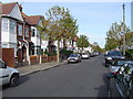
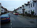
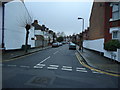
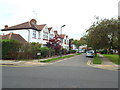
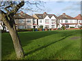
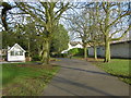
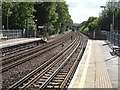
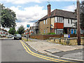
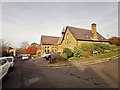
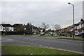
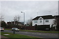
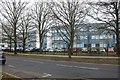
61 photos from this area
Area Information
Key information about the HA1 4DQ including its size, population, and administrative classification.
- Area Type
- Postcode
- Area Size
- 4549 m²
- Population
- 1957
- Population Density
- 11621 people/km²
House Prices in HA1 4DQ
24
Properties
£224,072
Average Sold Price
£39,200
Lowest Price
£500,000
Highest Price
Showing 24 properties
| Address | Type | Beds | Baths | Last Sale Price | Last Sale Date | |
|---|---|---|---|---|---|---|
| 99 Bowen Road, West Harrow, HA1 4DQ | Flat | 2 | 1 | £310,000 | Nov 2022 | |
| 65 Bowen Road, West Harrow, HA1 4DQ | Flat | - | - | £325,000 | Jan 2022 | |
| 109 Bowen Road, West Harrow, HA1 4DQ | Semi-detached | 3 | 2 | £500,000 | Jul 2016 | |
| 95 Bowen Road, West Harrow, HA1 4DQ | Flat | - | - | £273,000 | Sep 2015 | |
| 87 Bowen Road, West Harrow, HA1 4DQ | Flat | - | - | £250,000 | Dec 2014 | |
| 69 Bowen Road, West Harrow, HA1 4DQ | Flat | - | - | £154,950 | Jul 2004 | |
| 75 Bowen Road, West Harrow, HA1 4DQ | Terraced | - | - | £89,000 | Jan 1999 | |
| 103 Bowen Road, West Harrow, HA1 4DQ | Flat | - | - | £75,500 | Oct 1998 | |
| 105 Bowen Road, West Harrow, HA1 4DQ | Flat | - | - | £39,200 | May 1996 | |
| 89 Bowen Road, West Harrow, HA1 4DQ | house | - | - | - | - |
Page 1 of 3
Energy Efficiency in HA1 4DQ
Amenities
Schools
| Rank | School | Type | Entry gender | Ages |
|---|
Explore more schools in this area
Go to Schools tabDemographics
Household Size
Family (3-5 people)
most common
Accommodation Type
Houses
most common
Tenure
54
majority
Ethnic Group
White
most common
Religion
N/A
most common
Household Composition
N/A
most common
Age
47
median
Adults (30-64 years)
most common
Household Deprivation
N/A
with no deprivation
NS-SEC
35
in Lower managerial occupations
Explore more demographic insights in this area
Go to Demographics tabPlanning
Planning Constraints
- Flood RiskPremium
- Ramsar Wetland SitesPremium
- Area of Outstanding Natural BeautyPremium
- Protected Nature ReservePremium
- Protected WoodlandPremium