Area Overview for HA1 4BH
Photos of HA1 4BH
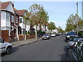
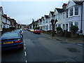
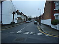
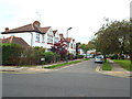
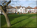
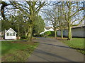
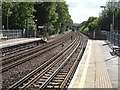
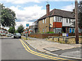
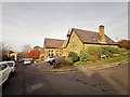
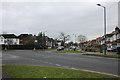
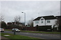
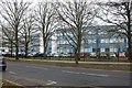
61 photos from this area
Area Information
Key information about the HA1 4BH including its size, population, and administrative classification.
- Area Type
- Postcode
- Area Size
- 1.1 hectares
- Population
- 1957
- Population Density
- 11621 people/km²
House Prices in HA1 4BH
42
Properties
£274,400
Average Sold Price
£70,000
Lowest Price
£595,000
Highest Price
Showing 42 properties
| Address | Type | Beds | Baths | Last Sale Price | Last Sale Date | |
|---|---|---|---|---|---|---|
| 54 Merivale Road, West Harrow, HA1 4BH | Terraced | 3 | 1 | £498,500 | Jun 2025 | |
| 10 Merivale Road, West Harrow, HA1 4BH | Semi-detached | 3 | 1 | £538,800 | Aug 2024 | |
| 26 Merivale Road, West Harrow, HA1 4BH | Terraced | 3 | 1 | £565,000 | Jul 2023 | |
| 48 Merivale Road, West Harrow, HA1 4BH | Flat | 1 | 1 | £275,000 | Sep 2022 | |
| 52 Merivale Road, West Harrow, HA1 4BH | house | - | - | £595,000 | May 2021 | |
| 34C Merivale Road, West Harrow, HA1 4BH | Flat | - | - | £345,750 | Dec 2017 | |
| 34B Merivale Road, West Harrow, HA1 4BH | Flat | 3 | 1 | £233,500 | Sep 2017 | |
| 66A Merivale Road, West Harrow, HA1 4BH | Maisonette | 2 | 1 | £312,500 | Apr 2017 | |
| 36 Merivale Road, West Harrow, HA1 4BH | house | 3 | - | £475,000 | Dec 2014 | |
| 48A Merivale Road, West Harrow, HA1 4BH | Flat | 1 | 1 | £210,000 | Sep 2013 |
Page 1 of 5
Energy Efficiency in HA1 4BH
Amenities
Schools
| Rank | School | Type | Entry gender | Ages |
|---|
Explore more schools in this area
Go to Schools tabDemographics
Household Size
Family (3-5 people)
most common
Accommodation Type
Houses
most common
Tenure
54
majority
Ethnic Group
White
most common
Religion
N/A
most common
Household Composition
N/A
most common
Age
47
median
Adults (30-64 years)
most common
Household Deprivation
N/A
with no deprivation
NS-SEC
35
in Lower managerial occupations
Explore more demographic insights in this area
Go to Demographics tabPlanning
Planning Constraints
- Flood RiskPremium
- Ramsar Wetland SitesPremium
- Area of Outstanding Natural BeautyPremium
- Protected Nature ReservePremium
- Protected WoodlandPremium