Area Overview for HA1 4AH
Photos of HA1 4AH
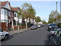
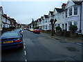
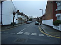
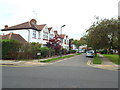
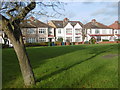
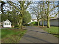
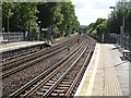
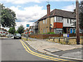
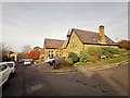
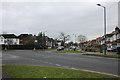
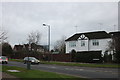

61 photos from this area
Area Information
Key information about the HA1 4AH including its size, population, and administrative classification.
- Area Type
- Postcode
- Area Size
- 5887 m²
- Population
- 2031
- Population Density
- 5473 people/km²
House Prices in HA1 4AH
11
Properties
£374,161
Average Sold Price
£159,000
Lowest Price
£692,500
Highest Price
Showing 11 properties
| Address | Type | Beds | Baths | Last Sale Price | Last Sale Date | |
|---|---|---|---|---|---|---|
| 84 Whitmore Road, West Harrow, HA1 4AH | Semi-detached | 5 | 2 | £692,500 | Jun 2015 | |
| 80 Whitmore Road, West Harrow, HA1 4AH | Semi-detached | 3 | 2 | £615,000 | Jun 2015 | |
| 90 Whitmore Road, West Harrow, HA1 4AH | Semi-detached | - | - | £385,000 | Jul 2005 | |
| 78 Whitmore Road, West Harrow, HA1 4AH | Terraced | - | - | £335,000 | Nov 2004 | |
| 92 Whitmore Road, West Harrow, HA1 4AH | Semi-detached | - | - | £365,000 | Sep 2004 | |
| 86 Whitmore Road, West Harrow, HA1 4AH | Semi-detached | - | - | £390,000 | Aug 2001 | |
| 74 Whitmore Road, West Harrow, HA1 4AH | Semi-detached | 3 | - | £239,950 | Dec 1999 | |
| 88 Whitmore Road, West Harrow, HA1 4AH | Semi-detached | - | - | £186,000 | Jul 1998 | |
| 92A Whitmore Road, West Harrow, HA1 4AH | Detached | - | - | £159,000 | Jul 1998 | |
| 82 Whitmore Road, West Harrow, HA1 4AH | Semi-detached | - | - | - | - |
Page 1 of 2
Energy Efficiency in HA1 4AH
Amenities
Schools
| Rank | School | Type | Entry gender | Ages |
|---|
Explore more schools in this area
Go to Schools tabDemographics
Household Size
Family (3-5 people)
most common
Accommodation Type
Houses
most common
Tenure
58
majority
Ethnic Group
White
most common
Religion
N/A
most common
Household Composition
N/A
most common
Age
47
median
Adults (30-64 years)
most common
Household Deprivation
N/A
with no deprivation
NS-SEC
36
in Lower managerial occupations
Explore more demographic insights in this area
Go to Demographics tabPlanning
Planning Constraints
- Flood RiskPremium
- Ramsar Wetland SitesPremium
- Area of Outstanding Natural BeautyPremium
- Protected Nature ReservePremium
- Protected WoodlandPremium