Area Overview for HA1 4AB
Photos of HA1 4AB
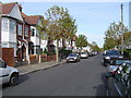
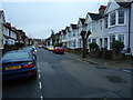
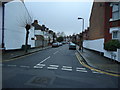
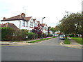
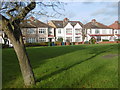
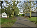
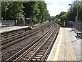
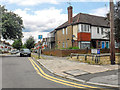
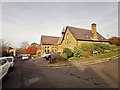
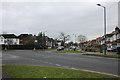
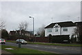

61 photos from this area
Area Information
Key information about the HA1 4AB including its size, population, and administrative classification.
- Area Type
- Postcode
- Area Size
- 7654 m²
- Population
- 2037
- Population Density
- 5023 people/km²
House Prices in HA1 4AB
16
Properties
£562,945
Average Sold Price
£207,500
Lowest Price
£1,045,000
Highest Price
Showing 16 properties
| Address | Type | Beds | Baths | Last Sale Price | Last Sale Date | |
|---|---|---|---|---|---|---|
| 2 Whitmore Road, West Harrow, HA1 4AB | Semi-detached | 4 | 3 | £840,000 | Dec 2023 | |
| 16 Whitmore Road, West Harrow, HA1 4AB | Retail | 4 | 3 | £1,045,000 | Jul 2022 | |
| 6 Whitmore Road, West Harrow, HA1 4AB | Semi-detached | 3 | 1 | £775,000 | Jun 2022 | |
| 4 Whitmore Road, West Harrow, HA1 4AB | house | - | - | £970,000 | Jun 2018 | |
| 12 Whitmore Road, West Harrow, HA1 4AB | house | - | - | £460,000 | May 2011 | |
| 30 Whitmore Road, West Harrow, HA1 4AB | Semi-detached | - | - | £499,950 | Dec 2008 | |
| 10 Whitmore Road, West Harrow, HA1 4AB | Semi-detached | 1 | - | £450,000 | Oct 2006 | |
| 8 Whitmore Road, West Harrow, HA1 4AB | Semi-detached | 5 | 2 | £349,950 | Feb 2004 | |
| 22 Whitmore Road, West Harrow, HA1 4AB | Semi-detached | - | - | £375,000 | Oct 2001 | |
| 14 Whitmore Road, West Harrow, HA1 4AB | Flat | - | - | £220,000 | Mar 1999 |
Page 1 of 2
Energy Efficiency in HA1 4AB
Amenities
Schools
| Rank | School | Type | Entry gender | Ages |
|---|
Explore more schools in this area
Go to Schools tabDemographics
Household Size
Family (3-5 people)
most common
Accommodation Type
Flats
most common
Tenure
53
majority
Ethnic Group
White
most common
Religion
N/A
most common
Household Composition
N/A
most common
Age
47
median
Adults (30-64 years)
most common
Household Deprivation
N/A
with no deprivation
NS-SEC
45
in Lower managerial occupations
Explore more demographic insights in this area
Go to Demographics tabPlanning
Planning Constraints
- Flood RiskPremium
- Ramsar Wetland SitesPremium
- Area of Outstanding Natural BeautyPremium
- Protected Nature ReservePremium
- Protected WoodlandPremium