Area Overview for HA1 3YG
Photos of HA1 3YG
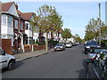
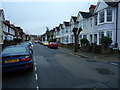
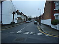
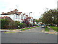
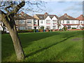
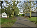
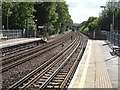
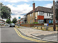
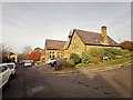
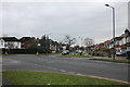
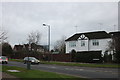
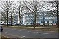
61 photos from this area
Area Information
Key information about the HA1 3YG including its size, population, and administrative classification.
- Area Type
- Postcode
- Area Size
- 6508 m²
- Population
- 1957
- Population Density
- 11621 people/km²
House Prices in HA1 3YG
32
Properties
£94,074
Average Sold Price
£23,000
Lowest Price
£204,000
Highest Price
Showing 32 properties
| Address | Type | Beds | Baths | Last Sale Price | Last Sale Date | |
|---|---|---|---|---|---|---|
| 3 Farmborough Close, West Harrow, HA1 3YG | Flat | 2 | 1 | £110,000 | Jul 2025 | |
| 15 Farmborough Close, West Harrow, HA1 3YG | Flat | 2 | 1 | £204,000 | May 2024 | |
| 25 Farmborough Close, West Harrow, HA1 3YG | Flat | 2 | 1 | £125,000 | Dec 2022 | |
| 10 Farmborough Close, West Harrow, HA1 3YG | Flat | 2 | 1 | £82,000 | Sep 2021 | |
| 19 Farmborough Close, West Harrow, HA1 3YG | Flat | - | - | £99,950 | Jul 2020 | |
| 23 Farmborough Close, West Harrow, HA1 3YG | Flat | 2 | 1 | £80,000 | Apr 2017 | |
| 28 Farmborough Close, West Harrow, HA1 3YG | Flat | - | - | £96,000 | Apr 2015 | |
| 9 Farmborough Close, West Harrow, HA1 3YG | Flat | - | - | £103,000 | Sep 2014 | |
| 32 Farmborough Close, West Harrow, HA1 3YG | Flat | - | - | £70,000 | Aug 2014 | |
| 22 Farmborough Close, West Harrow, HA1 3YG | Flat | 2 | 1 | £131,000 | May 2014 |
Page 1 of 4
Energy Efficiency in HA1 3YG
Amenities
Schools
| Rank | School | Type | Entry gender | Ages |
|---|
Explore more schools in this area
Go to Schools tabDemographics
Household Size
Family (3-5 people)
most common
Accommodation Type
Houses
most common
Tenure
54
majority
Ethnic Group
White
most common
Religion
N/A
most common
Household Composition
N/A
most common
Age
47
median
Adults (30-64 years)
most common
Household Deprivation
N/A
with no deprivation
NS-SEC
35
in Lower managerial occupations
Explore more demographic insights in this area
Go to Demographics tabPlanning
Planning Constraints
- Flood RiskPremium
- Ramsar Wetland SitesPremium
- Area of Outstanding Natural BeautyPremium
- Protected Nature ReservePremium
- Protected WoodlandPremium