Area Overview for HA1 3UX
Photos of HA1 3UX
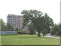
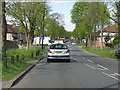
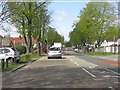
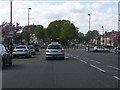
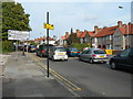
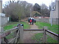
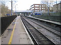
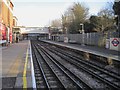
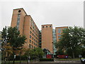
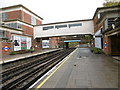
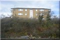
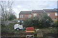
65 photos from this area
Area Information
Key information about the HA1 3UX including its size, population, and administrative classification.
- Area Type
- Postcode
- Area Size
- 1.3 hectares
- Population
- 2015
- Population Density
- 4787 people/km²
House Prices in HA1 3UX
36
Properties
£226,520
Average Sold Price
£40,250
Lowest Price
£428,000
Highest Price
Showing 36 properties
| Address | Type | Beds | Baths | Last Sale Price | Last Sale Date | |
|---|---|---|---|---|---|---|
| 22 Tyrell Close, Sudbury, HA1 3UX | house | - | - | £340,000 | Oct 2021 | |
| 2 Tyrell Close, Sudbury, HA1 3UX | house | 3 | - | £428,000 | May 2021 | |
| 5 Tyrell Close, Sudbury, HA1 3UX | Terraced | 3 | 2 | £400,000 | Jan 2019 | |
| 3 Tyrell Close, Sudbury, HA1 3UX | Terraced | 3 | 2 | £390,000 | Mar 2017 | |
| 9 Tyrell Close, Sudbury, HA1 3UX | house | - | - | £229,950 | Sep 2006 | |
| 18 Tyrell Close, Sudbury, HA1 3UX | house | - | - | £198,000 | Jul 2006 | |
| 33 Tyrell Close, Sudbury, HA1 3UX | Terraced | - | - | £167,000 | Jan 2004 | |
| 1A Tyrell Close, Sudbury, HA1 3UX | Bungalow | 5 | 2 | £320,000 | Sep 2003 | |
| 21 Tyrell Close, Sudbury, HA1 3UX | Terraced | - | - | £40,250 | Dec 1999 | |
| 34 Tyrell Close, Sudbury, HA1 3UX | house | - | - | £180,000 | Sep 1999 |
Page 1 of 4
Energy Efficiency in HA1 3UX
Amenities
Schools
| Rank | School | Type | Entry gender | Ages |
|---|
Explore more schools in this area
Go to Schools tabDemographics
Household Size
Family (3-5 people)
most common
Accommodation Type
Flats
most common
Tenure
53
majority
Ethnic Group
asian_total
most common
Religion
N/A
most common
Household Composition
N/A
most common
Age
47
median
Adults (30-64 years)
most common
Household Deprivation
N/A
with no deprivation
NS-SEC
31
in Lower managerial occupations
Explore more demographic insights in this area
Go to Demographics tabPlanning
Planning Constraints
- Flood RiskPremium
- Ramsar Wetland SitesPremium
- Area of Outstanding Natural BeautyPremium
- Protected Nature ReservePremium
- Protected WoodlandPremium