Area Overview for EN5 4HG
Photos of EN5 4HG
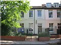
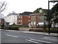
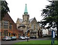
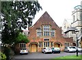
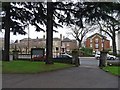
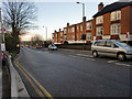
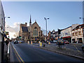
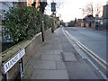
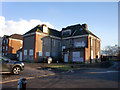
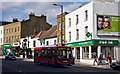
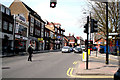
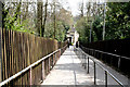
100 photos from this area
Area Information
Key information about the EN5 4HG including its size, population, and administrative classification.
- Area Type
- Postcode
- Area Size
- 5193 m²
- Population
- 1600
- Population Density
- 1048 people/km²
House Prices in EN5 4HG
26
Properties
£422,829
Average Sold Price
£74,000
Lowest Price
£762,500
Highest Price
Showing 26 properties
| Address | Type | Beds | Baths | Last Sale Price | Last Sale Date | |
|---|---|---|---|---|---|---|
| 43 Puller Road, Barnet, EN5 4HG | Terraced | 2 | 1 | £547,000 | Aug 2024 | |
| 5 Puller Road, Barnet, EN5 4HG | Terraced | 3 | 2 | £645,000 | Jun 2024 | |
| 15 Puller Road, Barnet, EN5 4HG | Terraced | 2 | 1 | £600,000 | Apr 2024 | |
| 49 Puller Road, Barnet, EN5 4HG | Terraced | 3 | 2 | £762,500 | Apr 2024 | |
| 11 Puller Road, Barnet, EN5 4HG | Terraced | 2 | 1 | £540,000 | Jun 2023 | |
| 13 Puller Road, Barnet, EN5 4HG | Terraced | 3 | 1 | £520,000 | Jan 2023 | |
| 19 Puller Road, Barnet, EN5 4HG | Terraced | 3 | 2 | £675,000 | Aug 2021 | |
| 45 Puller Road, Barnet, EN5 4HG | house | - | - | £582,333 | Jan 2021 | |
| 31 Puller Road, Barnet, EN5 4HG | Terraced | - | - | £541,000 | Dec 2015 | |
| 47 Puller Road, Barnet, EN5 4HG | Detached | 3 | 2 | £550,000 | Jul 2015 |
Page 1 of 3
Energy Efficiency in EN5 4HG
Amenities
Schools
| Rank | School | Type | Entry gender | Ages |
|---|
Explore more schools in this area
Go to Schools tabDemographics
Household Size
Family (3-5 people)
most common
Accommodation Type
Houses
most common
Tenure
79
majority
Ethnic Group
White
most common
Religion
N/A
most common
Household Composition
N/A
most common
Age
47
median
Adults (30-64 years)
most common
Household Deprivation
N/A
with no deprivation
NS-SEC
56
in Lower managerial occupations
Explore more demographic insights in this area
Go to Demographics tabPlanning
Planning Constraints
- Flood RiskPremium
- Ramsar Wetland SitesPremium
- Area of Outstanding Natural BeautyPremium
- Protected Nature ReservePremium
- Protected WoodlandPremium