Area Overview for EN5 2UH
Photos of EN5 2UH
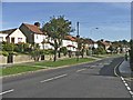
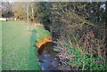
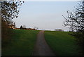
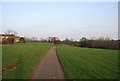
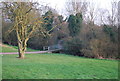
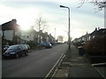
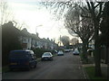
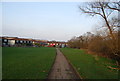
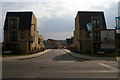
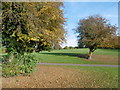
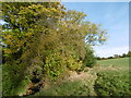
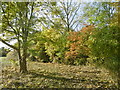
61 photos from this area
Area Information
Key information about the EN5 2UH including its size, population, and administrative classification.
- Area Type
- Postcode
- Area Size
- 5133 m²
- Population
- 1561
- Population Density
- 6254 people/km²
House Prices in EN5 2UH
35
Properties
£200,250
Average Sold Price
£67,000
Lowest Price
£270,000
Highest Price
Showing 35 properties
| Address | Type | Beds | Baths | Last Sale Price | Last Sale Date | |
|---|---|---|---|---|---|---|
| 140, Mill Bridge, Dollis Valley Way, Barnet, EN5 2UH | Flat | - | - | £230,000 | Aug 2022 | |
| 132, Mill Bridge, Dollis Valley Way, Barnet, EN5 2UH | Flat | - | - | £270,000 | Mar 2022 | |
| 135, Mill Bridge, Dollis Valley Way, Barnet, EN5 2UH | Maisonette | 3 | - | £241,000 | Jul 2017 | |
| 130, Mill Bridge, Dollis Valley Way, Barnet, EN5 2UH | Maisonette | - | - | £248,500 | Jun 2017 | |
| 131, Mill Bridge, Dollis Valley Way, Barnet, EN5 2UH | Flat | - | - | £145,000 | Nov 2013 | |
| 138, Mill Bridge, Dollis Valley Way, Barnet, EN5 2UH | Flat | - | - | £67,000 | Apr 2010 | |
| 145, Mill Bridge, Dollis Valley Way, Barnet, EN5 2UH | Flat | 2 | 2 | - | - | |
| 122, Mill Bridge, Dollis Valley Way, Barnet, EN5 2UH | Flat | - | - | - | - | |
| 139, Mill Bridge, Dollis Valley Way, Barnet, EN5 2UH | Flat | - | - | - | - | |
| 125, Mill Bridge, Dollis Valley Way, Barnet, EN5 2UH | Flat | 2 | 1 | - | - |
Page 1 of 4
Energy Efficiency in EN5 2UH
Amenities
Schools
| Rank | School | Type | Entry gender | Ages |
|---|
Explore more schools in this area
Go to Schools tabDemographics
Household Size
Family (3-5 people)
most common
Accommodation Type
Houses
most common
Tenure
46
majority
Ethnic Group
White
most common
Religion
N/A
most common
Household Composition
N/A
most common
Age
47
median
Adults (30-64 years)
most common
Household Deprivation
N/A
with no deprivation
NS-SEC
33
in Lower managerial occupations
Explore more demographic insights in this area
Go to Demographics tabPlanning
Planning Constraints
- Flood RiskPremium
- Ramsar Wetland SitesPremium
- Area of Outstanding Natural BeautyPremium
- Protected Nature ReservePremium
- Protected WoodlandPremium