Area Overview for EN5 2DX
Photos of EN5 2DX
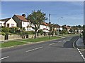
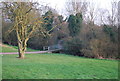
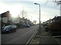
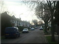
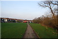
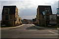
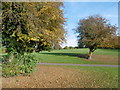
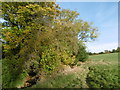
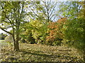
61 photos from this area
Area Information
Key information about the EN5 2DX including its size, population, and administrative classification.
- Area Type
- Postcode
- Area Size
- 8373 m²
- Population
- 1583
- Population Density
- 5629 people/km²
House Prices in EN5 2DX
24
Properties
£286,400
Average Sold Price
£73,500
Lowest Price
£635,000
Highest Price
Showing 24 properties
| Address | Type | Beds | Baths | Last Sale Price | Last Sale Date | |
|---|---|---|---|---|---|---|
| 129 Mays Lane, Underhill, Barnet, EN5 2DX | house | 3 | 1 | £635,000 | Mar 2025 | |
| 123 Mays Lane, Underhill, Barnet, EN5 2DX | Retail | 3 | 1 | £490,000 | Aug 2022 | |
| 109 Mays Lane, Underhill, Barnet, EN5 2DX | house | - | - | £440,000 | Sep 2021 | |
| 127 Mays Lane, Underhill, Barnet, EN5 2DX | Terraced | 3 | 4 | £360,000 | May 2015 | |
| 83 Mays Lane, Underhill, Barnet, EN5 2DX | Terraced | 4 | 1 | £447,000 | Sep 2012 | |
| 105 Mays Lane, Underhill, Barnet, EN5 2DX | Semi-detached | 3 | 2 | £270,000 | Aug 2011 | |
| 119 Mays Lane, Underhill, Barnet, EN5 2DX | Terraced | - | - | £262,000 | Apr 2007 | |
| 85 Mays Lane, Underhill, Barnet, EN5 2DX | house | 3 | - | £225,000 | Nov 2006 | |
| 99 Mays Lane, Underhill, Barnet, EN5 2DX | Terraced | - | - | £243,000 | Aug 2005 | |
| 113 Mays Lane, Underhill, Barnet, EN5 2DX | Terraced | 3 | 2 | £220,000 | Jan 2005 |
Page 1 of 3
Energy Efficiency in EN5 2DX
Amenities
Schools
| Rank | School | Type | Entry gender | Ages |
|---|
Explore more schools in this area
Go to Schools tabDemographics
Household Size
Family (3-5 people)
most common
Accommodation Type
Houses
most common
Tenure
35
majority
Ethnic Group
White
most common
Religion
N/A
most common
Household Composition
N/A
most common
Age
47
median
Adults (30-64 years)
most common
Household Deprivation
N/A
with no deprivation
NS-SEC
22
in Lower managerial occupations
Explore more demographic insights in this area
Go to Demographics tabPlanning
Planning Constraints
- Flood RiskPremium
- Ramsar Wetland SitesPremium
- Area of Outstanding Natural BeautyPremium
- Protected Nature ReservePremium
- Protected WoodlandPremium