Area Overview for EN5 2BN
Photos of EN5 2BN
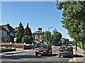
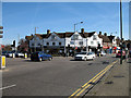
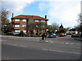
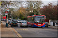
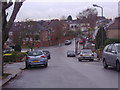
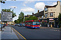
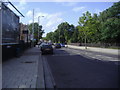
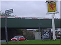
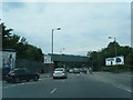
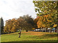
97 photos from this area
Area Information
Key information about the EN5 2BN including its size, population, and administrative classification.
- Area Type
- Postcode
- Area Size
- 8744 m²
- Population
- 1548
- Population Density
- 4588 people/km²
House Prices in EN5 2BN
19
Properties
£481,846
Average Sold Price
£138,000
Lowest Price
£708,000
Highest Price
Showing 19 properties
| Address | Type | Beds | Baths | Last Sale Price | Last Sale Date | |
|---|---|---|---|---|---|---|
| 140 Sherrards Way, Barnet, EN5 2BN | Semi-detached | 3 | 1 | £600,000 | Apr 2025 | |
| 164 Sherrards Way, Barnet, EN5 2BN | Semi-detached | 4 | 2 | £703,000 | Jan 2025 | |
| 109 Sherrards Way, Barnet, EN5 2BN | Retail | 3 | 1 | £708,000 | Sep 2022 | |
| 160 Sherrards Way, Barnet, EN5 2BN | house | - | - | £570,000 | Dec 2020 | |
| 113 Sherrards Way, Barnet, EN5 2BN | Semi-detached | 3 | 1 | £568,000 | Jun 2020 | |
| 107 Sherrards Way, Barnet, EN5 2BN | Semi-detached | 3 | 1 | £486,000 | Oct 2018 | |
| 162 Sherrards Way, Barnet, EN5 2BN | Detached | 1 | 1 | £620,000 | Dec 2017 | |
| 158 Sherrards Way, Barnet, EN5 2BN | Semi-detached | 5 | - | £530,000 | Oct 2016 | |
| 166A Sherrards Way, Barnet, EN5 2BN | house | - | - | £450,000 | Sep 2014 | |
| 166 Sherrards Way, Barnet, EN5 2BN | Semi-detached | 4 | 2 | £427,000 | Oct 2011 |
Page 1 of 2
Energy Efficiency in EN5 2BN
Amenities
Schools
| Rank | School | Type | Entry gender | Ages |
|---|
Explore more schools in this area
Go to Schools tabDemographics
Household Size
Family (3-5 people)
most common
Accommodation Type
Houses
most common
Tenure
75
majority
Ethnic Group
White
most common
Religion
N/A
most common
Household Composition
N/A
most common
Age
47
median
Adults (30-64 years)
most common
Household Deprivation
N/A
with no deprivation
NS-SEC
43
in Lower managerial occupations
Explore more demographic insights in this area
Go to Demographics tabPlanning
Planning Constraints
- Flood RiskPremium
- Ramsar Wetland SitesPremium
- Area of Outstanding Natural BeautyPremium
- Protected Nature ReservePremium
- Protected WoodlandPremium