Area Overview for EN4 8QA
Photos of EN4 8QA
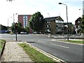
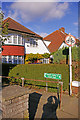
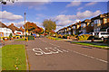
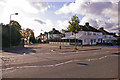
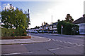
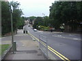
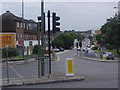
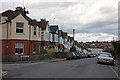
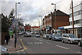
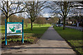
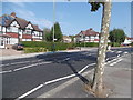
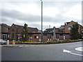
40 photos from this area
Area Information
Key information about the EN4 8QA including its size, population, and administrative classification.
- Area Type
- Postcode
- Area Size
- 1.2 hectares
- Population
- 1690
- Population Density
- 3108 people/km²
House Prices in EN4 8QA
44
Properties
£349,905
Average Sold Price
£89,000
Lowest Price
£750,000
Highest Price
Showing 44 properties
| Address | Type | Beds | Baths | Last Sale Price | Last Sale Date | |
|---|---|---|---|---|---|---|
| 106 Daneland, East Barnet, Barnet, EN4 8QA | house | - | - | £615,000 | Feb 2025 | |
| 62 Daneland, East Barnet, Barnet, EN4 8QA | Terraced | 3 | 1 | £597,500 | Oct 2024 | |
| 130 Daneland, East Barnet, Barnet, EN4 8QA | Terraced | 3 | 1 | £592,500 | Apr 2024 | |
| 98 Daneland, East Barnet, Barnet, EN4 8QA | Retail | 4 | 1 | £750,000 | Aug 2022 | |
| 82 Daneland, East Barnet, Barnet, EN4 8QA | house | 4 | 2 | £640,000 | Jan 2021 | |
| 58 Daneland, East Barnet, Barnet, EN4 8QA | house | - | - | £610,000 | Oct 2020 | |
| 140 Daneland, East Barnet, Barnet, EN4 8QA | Terraced | 3 | 1 | £532,500 | Sep 2020 | |
| 70 Daneland, East Barnet, Barnet, EN4 8QA | Terraced | 3 | 1 | £525,000 | Oct 2018 | |
| 108 Daneland, East Barnet, Barnet, EN4 8QA | Terraced | 4 | - | £537,500 | Dec 2015 | |
| 80 Daneland, East Barnet, Barnet, EN4 8QA | Terraced | 3 | 1 | £490,000 | Oct 2015 |
Page 1 of 5
Energy Efficiency in EN4 8QA
Amenities
Schools
| Rank | School | Type | Entry gender | Ages |
|---|
Explore more schools in this area
Go to Schools tabDemographics
Household Size
Family (3-5 people)
most common
Accommodation Type
Houses
most common
Tenure
77
majority
Ethnic Group
White
most common
Religion
N/A
most common
Household Composition
N/A
most common
Age
47
median
Adults (30-64 years)
most common
Household Deprivation
N/A
with no deprivation
NS-SEC
44
in Lower managerial occupations
Explore more demographic insights in this area
Go to Demographics tabPlanning
Planning Constraints
- Flood RiskPremium
- Ramsar Wetland SitesPremium
- Area of Outstanding Natural BeautyPremium
- Protected Nature ReservePremium
- Protected WoodlandPremium