Area Overview for EN4 8PZ
Photos of EN4 8PZ
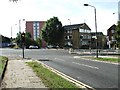
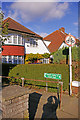
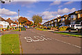
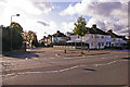
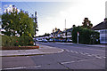
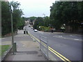
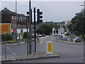
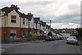
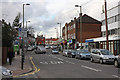
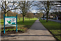
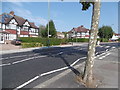
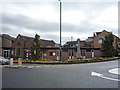
40 photos from this area
Area Information
Key information about the EN4 8PZ including its size, population, and administrative classification.
- Area Type
- Postcode
- Area Size
- 3.2 hectares
- Population
- 1690
- Population Density
- 4621 people/km²
House Prices in EN4 8PZ
31
Properties
£400,393
Average Sold Price
£93,000
Lowest Price
£670,000
Highest Price
Showing 31 properties
| Address | Type | Beds | Baths | Last Sale Price | Last Sale Date | |
|---|---|---|---|---|---|---|
| 91 Daneland, East Barnet, Barnet, EN4 8PZ | Terraced | 5 | 2 | £610,000 | Mar 2025 | |
| 75 Daneland, East Barnet, Barnet, EN4 8PZ | Terraced | 3 | 1 | £670,000 | Mar 2022 | |
| 81 Daneland, East Barnet, Barnet, EN4 8PZ | house | - | - | £600,000 | Mar 2021 | |
| 71 Daneland, East Barnet, Barnet, EN4 8PZ | Terraced | 3 | 1 | £485,000 | Sep 2020 | |
| 67 Daneland, East Barnet, Barnet, EN4 8PZ | Terraced | 4 | 2 | £540,000 | Sep 2020 | |
| 61 Daneland, East Barnet, Barnet, EN4 8PZ | house | 4 | - | £625,000 | Dec 2016 | |
| 103 Daneland, East Barnet, Barnet, EN4 8PZ | Semi-detached | 3 | 1 | £495,000 | Apr 2016 | |
| 101 Daneland, East Barnet, Barnet, EN4 8PZ | house | 3 | 1 | £515,000 | Sep 2015 | |
| 87 Daneland, East Barnet, Barnet, EN4 8PZ | Terraced | - | - | £253,700 | Jul 2015 | |
| 73 Daneland, East Barnet, Barnet, EN4 8PZ | Terraced | 4 | 2 | £380,000 | Nov 2014 |
Page 1 of 4
Energy Efficiency in EN4 8PZ
Amenities
Schools
| Rank | School | Type | Entry gender | Ages |
|---|
Explore more schools in this area
Go to Schools tabDemographics
Household Size
Family (3-5 people)
most common
Accommodation Type
Houses
most common
Tenure
79
majority
Ethnic Group
White
most common
Religion
N/A
most common
Household Composition
N/A
most common
Age
47
median
Adults (30-64 years)
most common
Household Deprivation
N/A
with no deprivation
NS-SEC
43
in Lower managerial occupations
Explore more demographic insights in this area
Go to Demographics tabPlanning
Planning Constraints
- Flood RiskPremium
- Ramsar Wetland SitesPremium
- Area of Outstanding Natural BeautyPremium
- Protected Nature ReservePremium
- Protected WoodlandPremium