Area Overview for EN4 8LW
Photos of EN4 8LW
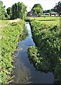
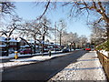
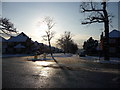
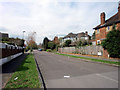
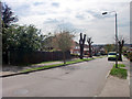
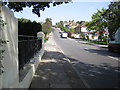
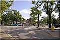
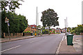
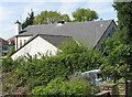
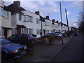
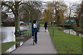
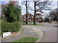
100 photos from this area
Area Information
Key information about the EN4 8LW including its size, population, and administrative classification.
- Area Type
- Postcode
- Area Size
- 6.7 hectares
- Population
- 1690
- Population Density
- 3108 people/km²
House Prices in EN4 8LW
27
Properties
£485,039
Average Sold Price
£102,000
Lowest Price
£800,000
Highest Price
Showing 27 properties
| Address | Type | Beds | Baths | Last Sale Price | Last Sale Date | |
|---|---|---|---|---|---|---|
| 42 Brookside South, East Barnet, Barnet, EN4 8LW | Semi-detached | 3 | 1 | £800,000 | Nov 2024 | |
| 58 Brookside South, East Barnet, Barnet, EN4 8LW | house | - | - | £672,000 | Sep 2024 | |
| 80 Brookside South, East Barnet, Barnet, EN4 8LW | Semi-detached | 3 | 1 | £660,000 | Jul 2024 | |
| 70 Brookside South, East Barnet, Barnet, EN4 8LW | Semi-detached | 3 | 1 | £695,000 | Jun 2021 | |
| 52 Brookside South, East Barnet, Barnet, EN4 8LW | house | - | - | £740,000 | Mar 2021 | |
| 64 Brookside South, East Barnet, Barnet, EN4 8LW | Detached | 4 | 2 | £741,000 | Jan 2021 | |
| 46 Brookside South, East Barnet, Barnet, EN4 8LW | house | - | - | £570,000 | Feb 2019 | |
| 48 Brookside South, East Barnet, Barnet, EN4 8LW | house | - | - | £376,700 | Jan 2015 | |
| Oakleigh Wood Cottage, Brookside South, East Barnet, Barnet, EN4 8LW | Detached | 4 | - | £575,000 | Nov 2012 | |
| 54 Brookside South, East Barnet, Barnet, EN4 8LW | Semi-detached | 4 | 2 | £456,000 | Jan 2012 |
Page 1 of 3
Energy Efficiency in EN4 8LW
Amenities
Schools
| Rank | School | Type | Entry gender | Ages |
|---|
Explore more schools in this area
Go to Schools tabDemographics
Household Size
Family (3-5 people)
most common
Accommodation Type
Houses
most common
Tenure
77
majority
Ethnic Group
White
most common
Religion
N/A
most common
Household Composition
N/A
most common
Age
47
median
Adults (30-64 years)
most common
Household Deprivation
N/A
with no deprivation
NS-SEC
44
in Lower managerial occupations
Explore more demographic insights in this area
Go to Demographics tabPlanning
Planning Constraints
- Flood RiskPremium
- Ramsar Wetland SitesPremium
- Area of Outstanding Natural BeautyPremium
- Protected Nature ReservePremium
- Protected WoodlandPremium