Area Overview for EN4 8LL
Photos of EN4 8LL
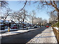
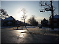
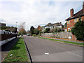
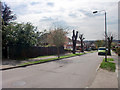
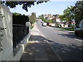
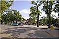
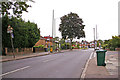
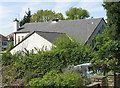
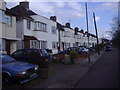
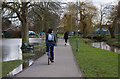
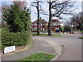
100 photos from this area
Area Information
Key information about the EN4 8LL including its size, population, and administrative classification.
- Area Type
- Postcode
- Area Size
- 1.2 hectares
- Population
- 1745
- Population Density
- 7117 people/km²
House Prices in EN4 8LL
26
Properties
£440,026
Average Sold Price
£147,000
Lowest Price
£730,000
Highest Price
Showing 26 properties
| Address | Type | Beds | Baths | Last Sale Price | Last Sale Date | |
|---|---|---|---|---|---|---|
| 85 Brookside South, East Barnet, Barnet, EN4 8LL | Semi-detached | 4 | 1 | £565,000 | Oct 2021 | |
| 103 Brookside South, East Barnet, Barnet, EN4 8LL | house | 3 | - | £680,000 | Mar 2021 | |
| 93 Brookside South, East Barnet, Barnet, EN4 8LL | Semi-detached | 3 | 1 | £650,000 | Jan 2020 | |
| 109 Brookside South, East Barnet, Barnet, EN4 8LL | Semi-detached | 4 | 2 | £680,000 | Feb 2019 | |
| 111 Brookside South, East Barnet, Barnet, EN4 8LL | house | - | - | £730,000 | Sep 2017 | |
| 97 Brookside South, East Barnet, Barnet, EN4 8LL | Semi-detached | 3 | - | £730,000 | Apr 2017 | |
| 107 Brookside South, East Barnet, Barnet, EN4 8LL | Semi-detached | 4 | 2 | £550,000 | Jun 2014 | |
| 75 Brookside South, East Barnet, Barnet, EN4 8LL | Semi-detached | 3 | - | £425,000 | Nov 2013 | |
| 105 Brookside South, East Barnet, Barnet, EN4 8LL | house | - | - | £395,000 | Dec 2012 | |
| 91 Brookside South, East Barnet, Barnet, EN4 8LL | house | - | - | £360,000 | Aug 2010 |
Page 1 of 3
Energy Efficiency in EN4 8LL
Amenities
Schools
| Rank | School | Type | Entry gender | Ages |
|---|
Explore more schools in this area
Go to Schools tabDemographics
Household Size
Family (3-5 people)
most common
Accommodation Type
Houses
most common
Tenure
77
majority
Ethnic Group
White
most common
Religion
N/A
most common
Household Composition
N/A
most common
Age
47
median
Adults (30-64 years)
most common
Household Deprivation
N/A
with no deprivation
NS-SEC
39
in Lower managerial occupations
Explore more demographic insights in this area
Go to Demographics tabPlanning
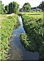
Planning Constraints
- Flood RiskPremium
- Ramsar Wetland SitesPremium
- Area of Outstanding Natural BeautyPremium
- Protected Nature ReservePremium
- Protected WoodlandPremium