Area Overview for EN4 8DR
Photos of EN4 8DR
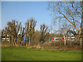
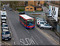
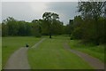
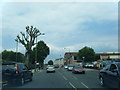
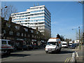
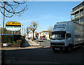
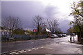
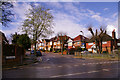
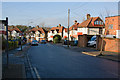
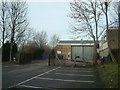

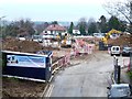
77 photos from this area
Area Information
Key information about the EN4 8DR including its size, population, and administrative classification.
- Area Type
- Postcode
- Area Size
- 1.2 hectares
- Population
- 2031
- Population Density
- 4056 people/km²
House Prices in EN4 8DR
22
Properties
£368,282
Average Sold Price
£104,950
Lowest Price
£660,000
Highest Price
Showing 22 properties
| Address | Type | Beds | Baths | Last Sale Price | Last Sale Date | |
|---|---|---|---|---|---|---|
| 12, The Ridings, Alverstone Avenue, East Barnet, Barnet, EN4 8DR | Terraced | 4 | 2 | £660,000 | Aug 2024 | |
| 8, The Ridings, Alverstone Avenue, East Barnet, Barnet, EN4 8DR | Retail | 3 | - | £500,000 | Aug 2022 | |
| 14, The Ridings, Alverstone Avenue, East Barnet, Barnet, EN4 8DR | Terraced | 4 | 2 | £525,000 | Apr 2019 | |
| 11, The Ridings, Alverstone Avenue, East Barnet, Barnet, EN4 8DR | Terraced | 3 | 1 | £455,000 | Sep 2018 | |
| 6, The Ridings, Alverstone Avenue, East Barnet, Barnet, EN4 8DR | Terraced | 3 | 1 | £544,500 | Jun 2018 | |
| 16, The Ridings, Alverstone Avenue, East Barnet, Barnet, EN4 8DR | Semi-detached | 3 | 1 | £492,000 | Sep 2017 | |
| 10, The Ridings, Alverstone Avenue, East Barnet, Barnet, EN4 8DR | Terraced | 3 | 1 | £365,000 | Sep 2014 | |
| 17, The Ridings, Alverstone Avenue, East Barnet, Barnet, EN4 8DR | Terraced | 3 | 1 | £280,000 | Jan 2011 | |
| 18, The Ridings, Alverstone Avenue, East Barnet, Barnet, EN4 8DR | Terraced | 2 | 1 | £245,000 | Jun 2009 | |
| 5, The Ridings, Alverstone Avenue, East Barnet, Barnet, EN4 8DR | house | 3 | - | £287,500 | Feb 2007 |
Page 1 of 3
Energy Efficiency in EN4 8DR
Amenities
Schools
| Rank | School | Type | Entry gender | Ages |
|---|
Explore more schools in this area
Go to Schools tabDemographics
Household Size
Family (3-5 people)
most common
Accommodation Type
Houses
most common
Tenure
81
majority
Ethnic Group
White
most common
Religion
N/A
most common
Household Composition
N/A
most common
Age
47
median
Adults (30-64 years)
most common
Household Deprivation
N/A
with no deprivation
NS-SEC
42
in Lower managerial occupations
Explore more demographic insights in this area
Go to Demographics tabPlanning
Planning Constraints
- Flood RiskPremium
- Ramsar Wetland SitesPremium
- Area of Outstanding Natural BeautyPremium
- Protected Nature ReservePremium
- Protected WoodlandPremium