Area Overview for EN4 8EB
Photos of EN4 8EB
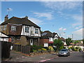
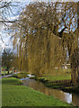
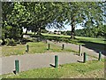
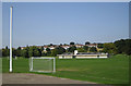

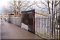
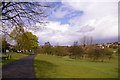
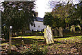
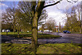
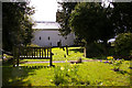
83 photos from this area
Area Information
Key information about the EN4 8EB including its size, population, and administrative classification.
- Area Type
- Postcode
- Area Size
- 3.7 hectares
- Population
- 2031
- Population Density
- 4056 people/km²
House Prices in EN4 8EB
27
Properties
£454,941
Average Sold Price
£123,500
Lowest Price
£832,000
Highest Price
Showing 27 properties
| Address | Type | Beds | Baths | Last Sale Price | Last Sale Date | |
|---|---|---|---|---|---|---|
| 82 Alverstone Avenue, East Barnet, Barnet, EN4 8EB | Semi-detached | 4 | 1 | £690,000 | Jul 2024 | |
| 52 Alverstone Avenue, East Barnet, Barnet, EN4 8EB | Semi-detached | 4 | 2 | £832,000 | Jan 2024 | |
| 56 Alverstone Avenue, East Barnet, Barnet, EN4 8EB | house | 4 | - | £695,000 | Nov 2021 | |
| 58 Alverstone Avenue, East Barnet, Barnet, EN4 8EB | house | - | - | £560,000 | Aug 2020 | |
| 70 Alverstone Avenue, East Barnet, Barnet, EN4 8EB | Semi-detached | 4 | 1 | £750,000 | Sep 2017 | |
| 38 Alverstone Avenue, East Barnet, Barnet, EN4 8EB | Semi-detached | 4 | - | £725,000 | Jul 2016 | |
| 50 Alverstone Avenue, East Barnet, Barnet, EN4 8EB | Semi-detached | 4 | - | £587,500 | Aug 2015 | |
| 86 Alverstone Avenue, East Barnet, Barnet, EN4 8EB | house | 4 | - | £425,000 | Dec 2013 | |
| 48 Alverstone Avenue, East Barnet, Barnet, EN4 8EB | house | 3 | - | £400,000 | Dec 2011 | |
| 66 Alverstone Avenue, East Barnet, Barnet, EN4 8EB | house | 3 | - | £346,000 | Jul 2010 |
Page 1 of 3
Energy Efficiency in EN4 8EB
Amenities
Schools
| Rank | School | Type | Entry gender | Ages |
|---|
Explore more schools in this area
Go to Schools tabDemographics
Household Size
Family (3-5 people)
most common
Accommodation Type
Houses
most common
Tenure
81
majority
Ethnic Group
White
most common
Religion
N/A
most common
Household Composition
N/A
most common
Age
47
median
Adults (30-64 years)
most common
Household Deprivation
N/A
with no deprivation
NS-SEC
42
in Lower managerial occupations
Explore more demographic insights in this area
Go to Demographics tabPlanning
Planning Constraints
- Flood RiskPremium
- Ramsar Wetland SitesPremium
- Area of Outstanding Natural BeautyPremium
- Protected Nature ReservePremium
- Protected WoodlandPremium