Area Overview for EN4 8DD
Photos of EN4 8DD
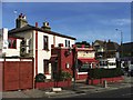
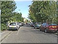
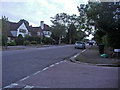
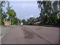

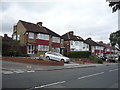
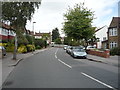
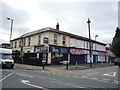
45 photos from this area
Area Information
Key information about the EN4 8DD including its size, population, and administrative classification.
- Area Type
- Postcode
- Area Size
- 8834 m²
- Population
- 2031
- Population Density
- 4056 people/km²
House Prices in EN4 8DD
19
Properties
£344,167
Average Sold Price
£240,000
Lowest Price
£517,000
Highest Price
Showing 19 properties
| Address | Type | Beds | Baths | Last Sale Price | Last Sale Date | |
|---|---|---|---|---|---|---|
| 94 Shurland Avenue, East Barnet, Barnet, EN4 8DD | Terraced | 3 | 1 | £510,000 | Jun 2023 | |
| 76 Shurland Avenue, East Barnet, Barnet, EN4 8DD | Terraced | 3 | 1 | £517,000 | Jan 2022 | |
| 88 Shurland Avenue, East Barnet, Barnet, EN4 8DD | house | - | - | £450,000 | Feb 2017 | |
| 80 Shurland Avenue, East Barnet, Barnet, EN4 8DD | Terraced | 3 | 1 | £366,000 | Jul 2014 | |
| 78 Shurland Avenue, East Barnet, Barnet, EN4 8DD | house | - | - | £282,000 | Aug 2012 | |
| 98 Shurland Avenue, East Barnet, Barnet, EN4 8DD | house | 3 | - | £282,000 | Dec 2011 | |
| 104 Shurland Avenue, East Barnet, Barnet, EN4 8DD | Terraced | 3 | - | £285,000 | Mar 2011 | |
| 106 Shurland Avenue, East Barnet, Barnet, EN4 8DD | house | 3 | - | £366,000 | Jul 2010 | |
| 72 Shurland Avenue, East Barnet, Barnet, EN4 8DD | Terraced | 3 | 1 | £273,000 | Mar 2010 | |
| 90 Shurland Avenue, East Barnet, Barnet, EN4 8DD | house | - | - | £304,000 | Mar 2010 |
Page 1 of 2
Energy Efficiency in EN4 8DD
Amenities
Schools
| Rank | School | Type | Entry gender | Ages |
|---|
Explore more schools in this area
Go to Schools tabDemographics
Household Size
Family (3-5 people)
most common
Accommodation Type
Houses
most common
Tenure
81
majority
Ethnic Group
White
most common
Religion
N/A
most common
Household Composition
N/A
most common
Age
47
median
Adults (30-64 years)
most common
Household Deprivation
N/A
with no deprivation
NS-SEC
42
in Lower managerial occupations
Explore more demographic insights in this area
Go to Demographics tabPlanning
Planning Constraints
- Flood RiskPremium
- Ramsar Wetland SitesPremium
- Area of Outstanding Natural BeautyPremium
- Protected Nature ReservePremium
- Protected WoodlandPremium