Area Overview for EN3 5UJ
Photos of EN3 5UJ
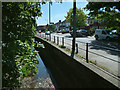
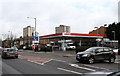
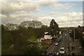
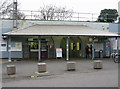
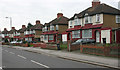
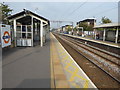
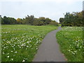
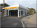
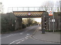
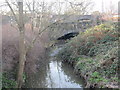
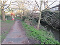
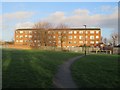
73 photos from this area
Area Information
Key information about the EN3 5UJ including its size, population, and administrative classification.
- Area Type
- Postcode
- Area Size
- 1.2 hectares
- Population
- 1732
- Population Density
- 15048 people/km²
House Prices in EN3 5UJ
53
Properties
£229,216
Average Sold Price
£69,500
Lowest Price
£1,040,000
Highest Price
Showing 53 properties
| Address | Type | Beds | Baths | Last Sale Price | Last Sale Date | |
|---|---|---|---|---|---|---|
| 36 St Stephens Road, Enfield, EN3 5UJ | Flat | 1 | 1 | £249,995 | Mar 2022 | |
| 18 St Stephens Road, Enfield, EN3 5UJ | Retail | 3 | 1 | £380,000 | Mar 2022 | |
| 56 St Stephens Road, Enfield, EN3 5UJ | house | - | - | £354,995 | May 2021 | |
| 94 St Stephens Road, Enfield, EN3 5UJ | Flat | - | - | £1,040,000 | Nov 2018 | |
| 38 St Stephens Road, Enfield, EN3 5UJ | Semi-detached | 3 | 2 | £380,000 | Jul 2018 | |
| 60 St Stephens Road, Enfield, EN3 5UJ | Terraced | 3 | 1 | £220,000 | Jun 2017 | |
| 72 St Stephens Road, Enfield, EN3 5UJ | Flat | - | - | £242,500 | Nov 2016 | |
| 30 St Stephens Road, Enfield, EN3 5UJ | house | 3 | 1 | £320,000 | Nov 2015 | |
| 24 St Stephens Road, Enfield, EN3 5UJ | house | - | - | £145,779 | Sep 2015 | |
| 54 St Stephens Road, Enfield, EN3 5UJ | house | 2 | 1 | £250,000 | Aug 2015 |
Page 1 of 6
Energy Efficiency in EN3 5UJ
Amenities
Schools
| Rank | School | Type | Entry gender | Ages |
|---|
Explore more schools in this area
Go to Schools tabDemographics
Household Size
Family (3-5 people)
most common
Accommodation Type
Flats
most common
Tenure
28
majority
Ethnic Group
White
most common
Religion
N/A
most common
Household Composition
N/A
most common
Age
47
median
Adults (30-64 years)
most common
Household Deprivation
N/A
with no deprivation
NS-SEC
14
in Lower managerial occupations
Explore more demographic insights in this area
Go to Demographics tabPlanning
Planning Constraints
- Flood RiskPremium
- Ramsar Wetland SitesPremium
- Area of Outstanding Natural BeautyPremium
- Protected Nature ReservePremium
- Protected WoodlandPremium