Area Overview for EN3 5NJ
Photos of EN3 5NJ
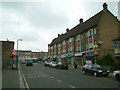
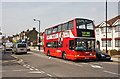
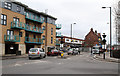
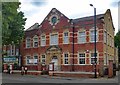
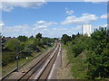
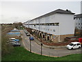
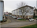
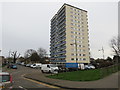
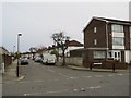
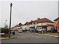
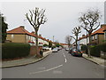
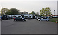
38 photos from this area
Area Information
Key information about the EN3 5NJ including its size, population, and administrative classification.
- Area Type
- Postcode
- Area Size
- 5780 m²
- Population
- 1591
- Population Density
- 9014 people/km²
House Prices in EN3 5NJ
38
Properties
£235,195
Average Sold Price
£75,000
Lowest Price
£457,000
Highest Price
Showing 38 properties
| Address | Type | Beds | Baths | Last Sale Price | Last Sale Date | |
|---|---|---|---|---|---|---|
| 69 Lansbury Road, Enfield, EN3 5NJ | Terraced | 3 | 1 | £457,000 | Oct 2024 | |
| 59 Lansbury Road, Enfield, EN3 5NJ | Terraced | 3 | 1 | £440,000 | Sep 2024 | |
| 91 Lansbury Road, Enfield, EN3 5NJ | Flat | 2 | 1 | £288,000 | Jun 2022 | |
| 61 Lansbury Road, Enfield, EN3 5NJ | house | - | - | £445,000 | Sep 2021 | |
| 85 Lansbury Road, Enfield, EN3 5NJ | Flat | - | - | £265,000 | Jul 2020 | |
| 71 Lansbury Road, Enfield, EN3 5NJ | Maisonette | 2 | 1 | £273,000 | Feb 2020 | |
| 68 Lansbury Road, Enfield, EN3 5NJ | Maisonette | 2 | 1 | £226,000 | Jul 2019 | |
| 83 Lansbury Road, Enfield, EN3 5NJ | Maisonette | 2 | 1 | £139,000 | Sep 2018 | |
| 73 Lansbury Road, Enfield, EN3 5NJ | Maisonette | - | - | £230,000 | Jun 2018 | |
| 81 Lansbury Road, Enfield, EN3 5NJ | Maisonette | 2 | 1 | £285,000 | Sep 2017 |
Page 1 of 4
Energy Efficiency in EN3 5NJ
Amenities
Schools
| Rank | School | Type | Entry gender | Ages |
|---|
Explore more schools in this area
Go to Schools tabDemographics
Household Size
Family (3-5 people)
most common
Accommodation Type
Houses
most common
Tenure
62
majority
Ethnic Group
White
most common
Religion
N/A
most common
Household Composition
N/A
most common
Age
47
median
Adults (30-64 years)
most common
Household Deprivation
N/A
with no deprivation
NS-SEC
23
in Lower managerial occupations
Explore more demographic insights in this area
Go to Demographics tabPlanning
Planning Constraints
- Flood RiskPremium
- Ramsar Wetland SitesPremium
- Area of Outstanding Natural BeautyPremium
- Protected Nature ReservePremium
- Protected WoodlandPremium