Area Overview for EN3 5EE
Photos of EN3 5EE
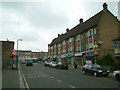
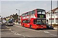
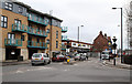
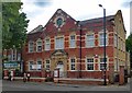
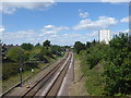
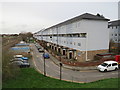
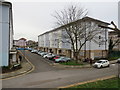
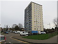
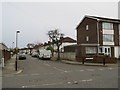
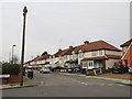
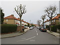
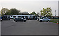
38 photos from this area
Area Information
Key information about the EN3 5EE including its size, population, and administrative classification.
- Area Type
- Postcode
- Area Size
- 4948 m²
- Population
- 1591
- Population Density
- 9014 people/km²
House Prices in EN3 5EE
27
Properties
£184,115
Average Sold Price
£69,500
Lowest Price
£435,000
Highest Price
Showing 27 properties
| Address | Type | Beds | Baths | Last Sale Price | Last Sale Date | |
|---|---|---|---|---|---|---|
| 5 The Sunny Road, Enfield, EN3 5EE | house | 3 | 1 | £435,000 | Aug 2022 | |
| 15 The Sunny Road, Enfield, EN3 5EE | house | - | - | £345,000 | Oct 2020 | |
| 13 The Sunny Road, Enfield, EN3 5EE | house | 3 | - | £276,000 | Aug 2010 | |
| 48 The Sunny Road, Enfield, EN3 5EE | Flat | 2 | 1 | £174,000 | Dec 2007 | |
| 19 The Sunny Road, Enfield, EN3 5EE | house | 2 | - | £167,000 | May 2005 | |
| 3 The Sunny Road, Enfield, EN3 5EE | Terraced | 3 | 1 | £175,000 | Jun 2004 | |
| 17 The Sunny Road, Enfield, EN3 5EE | house | - | - | £167,000 | Jun 2003 | |
| 46 The Sunny Road, Enfield, EN3 5EE | Flat | 3 | 1 | £129,000 | May 2003 | |
| 42 The Sunny Road, Enfield, EN3 5EE | Maisonette | - | - | £127,000 | Oct 2002 | |
| 23 The Sunny Road, Enfield, EN3 5EE | house | - | - | £116,000 | Feb 2001 |
Page 1 of 3
Energy Efficiency in EN3 5EE
Amenities
Schools
| Rank | School | Type | Entry gender | Ages |
|---|
Explore more schools in this area
Go to Schools tabDemographics
Household Size
Family (3-5 people)
most common
Accommodation Type
Houses
most common
Tenure
62
majority
Ethnic Group
White
most common
Religion
N/A
most common
Household Composition
N/A
most common
Age
47
median
Adults (30-64 years)
most common
Household Deprivation
N/A
with no deprivation
NS-SEC
23
in Lower managerial occupations
Explore more demographic insights in this area
Go to Demographics tabPlanning
Planning Constraints
- Flood RiskPremium
- Ramsar Wetland SitesPremium
- Area of Outstanding Natural BeautyPremium
- Protected Nature ReservePremium
- Protected WoodlandPremium