Area Overview for EN3 4SA
Photos of EN3 4SA
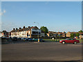
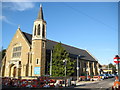
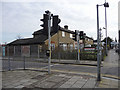
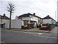
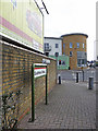
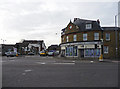
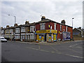
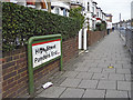
48 photos from this area
Area Information
Key information about the EN3 4SA including its size, population, and administrative classification.
- Area Type
- Postcode
- Area Size
- 3.4 hectares
- Population
- 2445
- Population Density
- 11778 people/km²
House Prices in EN3 4SA
88
Properties
£250,125
Average Sold Price
£63,500
Lowest Price
£505,000
Highest Price
Showing 88 properties
| Address | Type | Beds | Baths | Last Sale Price | Last Sale Date | |
|---|---|---|---|---|---|---|
| Room 3, Middlesex University, Queensway, Enfield, EN3 4SA | Flat | - | - | £505,000 | Apr 2023 | |
| 56 Queensway, Enfield, EN3 4SA | Terraced | 3 | 1 | £247,000 | Mar 2014 | |
| 52 Queensway, Enfield, EN3 4SA | house | 5 | 3 | £185,000 | Dec 2003 | |
| 54 Queensway, Enfield, EN3 4SA | house | - | - | £63,500 | Jan 1997 | |
| Flat 1, Matrix Court, 11 High Street, Enfield, EN3 4SA | Flat | 1 | 1 | - | - | |
| 60 Queensway, Enfield, EN3 4SA | Terraced | 3 | 1 | - | - | |
| 15J QUEENSWAY, Enfield, EN3 4SA | Flat | - | - | - | - | |
| 15I QUEENSWAY, Enfield, EN3 4SA | Flat | - | - | - | - | |
| 17-B-17-C QUEENSWAY, Enfield, EN3 4SA | Flat | - | - | - | - | |
| Room 12, Middlesex University, Queensway, Enfield, EN3 4SA | Flat | - | - | - | - |
Page 1 of 9
Energy Efficiency in EN3 4SA
Amenities
Schools
| Rank | School | Type | Entry gender | Ages |
|---|
Explore more schools in this area
Go to Schools tabDemographics
Household Size
Family (3-5 people)
most common
Accommodation Type
Houses
most common
Tenure
39
majority
Ethnic Group
black_total
most common
Religion
N/A
most common
Household Composition
N/A
most common
Age
47
median
Adults (30-64 years)
most common
Household Deprivation
N/A
with no deprivation
NS-SEC
20
in Lower managerial occupations
Explore more demographic insights in this area
Go to Demographics tabPlanning
Planning Constraints
- Flood RiskPremium
- Ramsar Wetland SitesPremium
- Area of Outstanding Natural BeautyPremium
- Protected Nature ReservePremium
- Protected WoodlandPremium