Area Overview for EN3 4HT
Photos of EN3 4HT
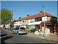
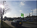
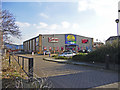
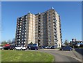
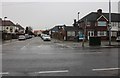
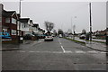
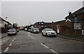
33 photos from this area
Area Information
Key information about the EN3 4HT including its size, population, and administrative classification.
- Area Type
- Postcode
- Area Size
- 1.5 hectares
- Population
- 2445
- Population Density
- 11778 people/km²
House Prices in EN3 4HT
50
Properties
£243,284
Average Sold Price
£59,786
Lowest Price
£433,000
Highest Price
Showing 50 properties
| Address | Type | Beds | Baths | Last Sale Price | Last Sale Date | |
|---|---|---|---|---|---|---|
| 76 Kingsway, Enfield, EN3 4HT | Flat | 3 | - | £395,000 | Jul 2024 | |
| 87 Kingsway, Enfield, EN3 4HT | Terraced | 4 | 1 | £433,000 | Mar 2024 | |
| 60 Kingsway, Enfield, EN3 4HT | Detached | 3 | 1 | £348,000 | Jan 2024 | |
| 65 Kingsway, Enfield, EN3 4HT | house | - | - | £390,000 | Mar 2021 | |
| 75 Kingsway, Enfield, EN3 4HT | Terraced | 3 | 1 | £360,000 | Sep 2018 | |
| 90 Kingsway, Enfield, EN3 4HT | Terraced | 1 | 1 | £400,000 | Nov 2017 | |
| 57 Kingsway, Enfield, EN3 4HT | Terraced | 1 | 1 | £350,000 | Jun 2016 | |
| 74 Kingsway, Enfield, EN3 4HT | Terraced | 3 | - | £349,995 | Mar 2016 | |
| 69 Kingsway, Enfield, EN3 4HT | Terraced | 2 | 1 | £305,000 | Jan 2016 | |
| 101 Kingsway, Enfield, EN3 4HT | house | 3 | 1 | £318,500 | Oct 2015 |
Page 1 of 5
Energy Efficiency in EN3 4HT
Amenities
Schools
| Rank | School | Type | Entry gender | Ages |
|---|
Explore more schools in this area
Go to Schools tabDemographics
Household Size
Family (3-5 people)
most common
Accommodation Type
Houses
most common
Tenure
39
majority
Ethnic Group
black_total
most common
Religion
N/A
most common
Household Composition
N/A
most common
Age
47
median
Adults (30-64 years)
most common
Household Deprivation
N/A
with no deprivation
NS-SEC
20
in Lower managerial occupations
Explore more demographic insights in this area
Go to Demographics tabPlanning
Planning Constraints
- Flood RiskPremium
- Ramsar Wetland SitesPremium
- Area of Outstanding Natural BeautyPremium
- Protected Nature ReservePremium
- Protected WoodlandPremium