Area Overview for EN2 8EB
Photos of EN2 8EB
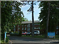
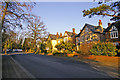
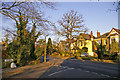
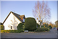
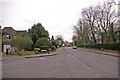
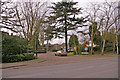
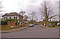
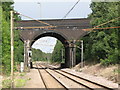
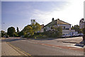
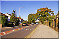
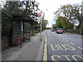
98 photos from this area
Area Information
Key information about the EN2 8EB including its size, population, and administrative classification.
- Area Type
- Postcode
- Area Size
- 1.1 hectares
- Population
- 1653
- Population Density
- 6596 people/km²
House Prices in EN2 8EB
43
Properties
£331,974
Average Sold Price
£126,000
Lowest Price
£1,200,000
Highest Price
Showing 43 properties
| Address | Type | Beds | Baths | Last Sale Price | Last Sale Date | |
|---|---|---|---|---|---|---|
| 42 Chase Green Avenue, Enfield, EN2 8EB | Semi-detached | 3 | 1 | £570,000 | Sep 2024 | |
| 75 Chase Green Avenue, Enfield, EN2 8EB | Flat | - | - | £1,200,000 | Jul 2023 | |
| 69 Chase Green Avenue, Enfield, EN2 8EB | Maisonette | 2 | 1 | £347,500 | Nov 2018 | |
| 39 Chase Green Avenue, Enfield, EN2 8EB | Detached | 5 | 2 | £925,000 | Jun 2015 | |
| 37D Chase Green Avenue, Enfield, EN2 8EB | Flat | 2 | 1 | £197,000 | Dec 2014 | |
| 42A Chase Green Avenue, Enfield, EN2 8EB | house | - | - | £450,000 | Jun 2014 | |
| 59 Chase Green Avenue, Enfield, EN2 8EB | Bungalow | - | - | £420,000 | Nov 2009 | |
| 37B Chase Green Avenue, Enfield, EN2 8EB | Flat | - | - | £195,000 | Mar 2007 | |
| 73 Chase Green Avenue, Enfield, EN2 8EB | Flat | - | - | £170,000 | Nov 2005 | |
| 44A Chase Green Avenue, Enfield, EN2 8EB | house | - | - | £275,000 | Feb 2005 |
Page 1 of 5
Energy Efficiency in EN2 8EB
Amenities
Schools
| Rank | School | Type | Entry gender | Ages |
|---|
Explore more schools in this area
Go to Schools tabDemographics
Household Size
Two person
most common
Accommodation Type
Houses
most common
Tenure
66
majority
Ethnic Group
White
most common
Religion
N/A
most common
Household Composition
N/A
most common
Age
47
median
Adults (30-64 years)
most common
Household Deprivation
N/A
with no deprivation
NS-SEC
46
in Lower managerial occupations
Explore more demographic insights in this area
Go to Demographics tabPlanning
Planning Constraints
- Flood RiskPremium
- Ramsar Wetland SitesPremium
- Area of Outstanding Natural BeautyPremium
- Protected Nature ReservePremium
- Protected WoodlandPremium