Area Overview for EN2 8DZ
Photos of EN2 8DZ
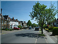
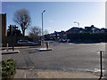
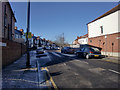
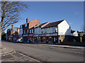
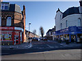
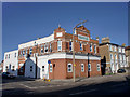
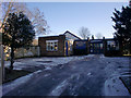
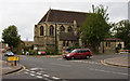
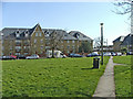
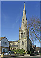
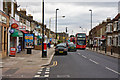
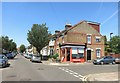
96 photos from this area
Area Information
Key information about the EN2 8DZ including its size, population, and administrative classification.
- Area Type
- Postcode
- Area Size
- 9764 m²
- Population
- 1653
- Population Density
- 6596 people/km²
House Prices in EN2 8DZ
36
Properties
£294,659
Average Sold Price
£140,000
Lowest Price
£432,000
Highest Price
Showing 36 properties
| Address | Type | Beds | Baths | Last Sale Price | Last Sale Date | |
|---|---|---|---|---|---|---|
| 25 Monks Close, Enfield, EN2 8DZ | Maisonette | 2 | 1 | £370,000 | Mar 2025 | |
| 45 Monks Close, Enfield, EN2 8DZ | Maisonette | 2 | 1 | £432,000 | Nov 2024 | |
| 49 Monks Close, Enfield, EN2 8DZ | Maisonette | 2 | 1 | £400,000 | Nov 2023 | |
| 53 Monks Close, Enfield, EN2 8DZ | Maisonette | 2 | 1 | £390,000 | Nov 2023 | |
| 27 Monks Close, Enfield, EN2 8DZ | Maisonette | 2 | 1 | £367,000 | May 2023 | |
| 5 Monks Close, Enfield, EN2 8DZ | Bungalow | - | - | £400,000 | Jun 2021 | |
| 31 Monks Close, Enfield, EN2 8DZ | Maisonette | 2 | 1 | £345,000 | Apr 2019 | |
| 29 Monks Close, Enfield, EN2 8DZ | Maisonette | 2 | 1 | £365,000 | Apr 2018 | |
| 51 Monks Close, Enfield, EN2 8DZ | Maisonette | - | - | £305,000 | Sep 2014 | |
| 41 Monks Close, Enfield, EN2 8DZ | Maisonette | 2 | 1 | £157,500 | Feb 2014 |
Page 1 of 4
Energy Efficiency in EN2 8DZ
Amenities
Schools
| Rank | School | Type | Entry gender | Ages |
|---|
Explore more schools in this area
Go to Schools tabDemographics
Household Size
Two person
most common
Accommodation Type
Houses
most common
Tenure
66
majority
Ethnic Group
White
most common
Religion
N/A
most common
Household Composition
N/A
most common
Age
47
median
Adults (30-64 years)
most common
Household Deprivation
N/A
with no deprivation
NS-SEC
46
in Lower managerial occupations
Explore more demographic insights in this area
Go to Demographics tabPlanning
Planning Constraints
- Flood RiskPremium
- Ramsar Wetland SitesPremium
- Area of Outstanding Natural BeautyPremium
- Protected Nature ReservePremium
- Protected WoodlandPremium