Area Overview for EN2 8DG
Photos of EN2 8DG
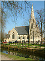
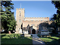
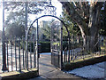
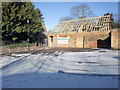

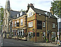
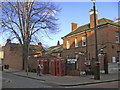
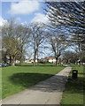
100 photos from this area
Area Information
Key information about the EN2 8DG including its size, population, and administrative classification.
- Area Type
- Postcode
- Area Size
- 1.5 hectares
- Population
- 1653
- Population Density
- 6596 people/km²
House Prices in EN2 8DG
42
Properties
£389,852
Average Sold Price
£175,000
Lowest Price
£780,000
Highest Price
Showing 42 properties
| Address | Type | Beds | Baths | Last Sale Price | Last Sale Date | |
|---|---|---|---|---|---|---|
| 31 Florence Drive, Enfield, EN2 8DG | Maisonette | 2 | 1 | £395,000 | Mar 2025 | |
| 26 Florence Drive, Enfield, EN2 8DG | Flat | 2 | 1 | £441,000 | Oct 2024 | |
| 19 Florence Drive, Enfield, EN2 8DG | Semi-detached | 4 | 2 | £733,794 | Aug 2023 | |
| 29 Florence Drive, Enfield, EN2 8DG | Maisonette | 2 | 1 | £420,000 | Apr 2023 | |
| 22 Florence Drive, Enfield, EN2 8DG | Flat | - | - | £380,000 | Jan 2022 | |
| 21 Florence Drive, Enfield, EN2 8DG | Maisonette | - | - | £380,000 | Jun 2021 | |
| 20 Florence Drive, Enfield, EN2 8DG | Flat | 2 | 1 | £375,000 | Jun 2019 | |
| 6 Florence Drive, Enfield, EN2 8DG | Semi-detached | 4 | 1 | £780,000 | Jul 2018 | |
| 25 Florence Drive, Enfield, EN2 8DG | Maisonette | - | - | £350,000 | Jan 2017 | |
| 24 Florence Drive, Enfield, EN2 8DG | Maisonette | 2 | 1 | £365,000 | Mar 2016 |
Page 1 of 5
Energy Efficiency in EN2 8DG
Amenities
Schools
| Rank | School | Type | Entry gender | Ages |
|---|
Explore more schools in this area
Go to Schools tabDemographics
Household Size
Two person
most common
Accommodation Type
Houses
most common
Tenure
66
majority
Ethnic Group
White
most common
Religion
N/A
most common
Household Composition
N/A
most common
Age
47
median
Adults (30-64 years)
most common
Household Deprivation
N/A
with no deprivation
NS-SEC
46
in Lower managerial occupations
Explore more demographic insights in this area
Go to Demographics tabPlanning
Planning Constraints
- Flood RiskPremium
- Ramsar Wetland SitesPremium
- Area of Outstanding Natural BeautyPremium
- Protected Nature ReservePremium
- Protected WoodlandPremium