Area Overview for EN2 7RG
Photos of EN2 7RG
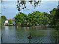
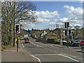
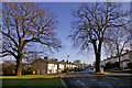
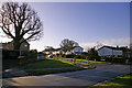


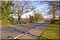
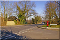
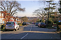
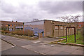
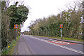
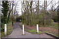
100 photos from this area
Area Information
Key information about the EN2 7RG including its size, population, and administrative classification.
- Area Type
- Postcode
- Area Size
- 5938 m²
- Population
- 1596
- Population Density
- 1894 people/km²
House Prices in EN2 7RG
17
Properties
£346,308
Average Sold Price
£100,000
Lowest Price
£675,000
Highest Price
Showing 17 properties
| Address | Type | Beds | Baths | Last Sale Price | Last Sale Date | |
|---|---|---|---|---|---|---|
| 111 Worlds End Lane, Enfield, EN2 7RG | Terraced | 3 | 1 | £570,000 | Jun 2024 | |
| 119 Worlds End Lane, Enfield, EN2 7RG | Terraced | 5 | 2 | £675,000 | Jun 2021 | |
| 121 Worlds End Lane, Enfield, EN2 7RG | Terraced | - | - | £475,000 | Dec 2020 | |
| 127 Worlds End Lane, Enfield, EN2 7RG | Semi-detached | 3 | 2 | £485,000 | Feb 2017 | |
| 133 Worlds End Lane, Enfield, EN2 7RG | house | 4 | 1 | £522,000 | Feb 2016 | |
| 131 Worlds End Lane, Enfield, EN2 7RG | Terraced | 4 | 2 | £290,000 | Dec 2010 | |
| 129 Worlds End Lane, Enfield, EN2 7RG | house | 3 | - | £250,000 | Jan 2010 | |
| 115 Worlds End Lane, Enfield, EN2 7RG | house | - | - | £285,000 | Apr 2007 | |
| 113 Worlds End Lane, Enfield, EN2 7RG | house | 4 | - | £244,950 | Aug 2002 | |
| 135 Worlds End Lane, Enfield, EN2 7RG | house | - | - | £148,750 | Apr 2002 |
Page 1 of 2
Energy Efficiency in EN2 7RG
Amenities
Schools
| Rank | School | Type | Entry gender | Ages |
|---|
Explore more schools in this area
Go to Schools tabDemographics
Household Size
Family (3-5 people)
most common
Accommodation Type
Houses
most common
Tenure
70
majority
Ethnic Group
White
most common
Religion
N/A
most common
Household Composition
N/A
most common
Age
47
median
Adults (30-64 years)
most common
Household Deprivation
N/A
with no deprivation
NS-SEC
37
in Lower managerial occupations
Explore more demographic insights in this area
Go to Demographics tabPlanning
Planning Constraints
- Flood RiskPremium
- Ramsar Wetland SitesPremium
- Area of Outstanding Natural BeautyPremium
- Protected Nature ReservePremium
- Protected WoodlandPremium