Area Overview for EN2 7HQ
Photos of EN2 7HQ
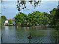
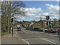
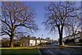
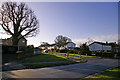
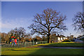

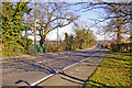
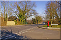
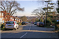
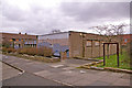
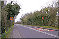
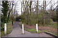
100 photos from this area
Area Information
Key information about the EN2 7HQ including its size, population, and administrative classification.
- Area Type
- Postcode
- Area Size
- 1.5 hectares
- Population
- 1596
- Population Density
- 1894 people/km²
House Prices in EN2 7HQ
22
Properties
£416,191
Average Sold Price
£33,750
Lowest Price
£690,000
Highest Price
Showing 22 properties
| Address | Type | Beds | Baths | Last Sale Price | Last Sale Date | |
|---|---|---|---|---|---|---|
| 7 Glenbrook South, Enfield, EN2 7HQ | Semi-detached | 3 | - | £635,000 | Feb 2023 | |
| 14 Glenbrook South, Enfield, EN2 7HQ | house | - | - | £667,500 | Oct 2021 | |
| 5 Glenbrook South, Enfield, EN2 7HQ | house | - | - | £525,000 | Feb 2021 | |
| 18 Glenbrook South, Enfield, EN2 7HQ | Semi-detached | 3 | 2 | £645,000 | Sep 2020 | |
| 11 Glenbrook South, Enfield, EN2 7HQ | house | 3 | 2 | £690,000 | Jun 2018 | |
| 15 Glenbrook South, Enfield, EN2 7HQ | Semi-detached | 4 | 2 | £516,000 | Feb 2016 | |
| 12 Glenbrook South, Enfield, EN2 7HQ | Semi-detached | 3 | 1 | £482,500 | Aug 2014 | |
| 6 Glenbrook South, Enfield, EN2 7HQ | Semi-detached | 5 | 2 | £460,000 | Nov 2013 | |
| 3 Glenbrook South, Enfield, EN2 7HQ | Semi-detached | 5 | 2 | £410,000 | Aug 2013 | |
| 20 Glenbrook South, Enfield, EN2 7HQ | house | 5 | - | £438,000 | Sep 2010 |
Page 1 of 3
Energy Efficiency in EN2 7HQ
Amenities
Schools
| Rank | School | Type | Entry gender | Ages |
|---|
Explore more schools in this area
Go to Schools tabDemographics
Household Size
Family (3-5 people)
most common
Accommodation Type
Houses
most common
Tenure
70
majority
Ethnic Group
White
most common
Religion
N/A
most common
Household Composition
N/A
most common
Age
47
median
Adults (30-64 years)
most common
Household Deprivation
N/A
with no deprivation
NS-SEC
37
in Lower managerial occupations
Explore more demographic insights in this area
Go to Demographics tabPlanning
Planning Constraints
- Flood RiskPremium
- Ramsar Wetland SitesPremium
- Area of Outstanding Natural BeautyPremium
- Protected Nature ReservePremium
- Protected WoodlandPremium