Area Overview for EN2 7LY
Photos of EN2 7LY

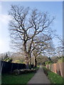
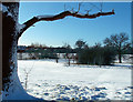
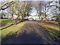
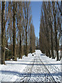
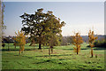
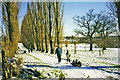
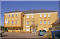
100 photos from this area
Area Information
Key information about the EN2 7LY including its size, population, and administrative classification.
- Area Type
- Postcode
- Area Size
- 9741 m²
- Population
- 1803
- Population Density
- 5341 people/km²
House Prices in EN2 7LY
22
Properties
£469,217
Average Sold Price
£102,750
Lowest Price
£795,000
Highest Price
Showing 22 properties
| Address | Type | Beds | Baths | Last Sale Price | Last Sale Date | |
|---|---|---|---|---|---|---|
| 5 Brantwood Gardens, Enfield, EN2 7LY | Semi-detached | 5 | 1 | £770,000 | Jun 2023 | |
| 25 Brantwood Gardens, Enfield, EN2 7LY | Semi-detached | 4 | 1 | £760,000 | Jun 2021 | |
| 21 Brantwood Gardens, Enfield, EN2 7LY | Semi-detached | 5 | 1 | £725,000 | Nov 2018 | |
| 37 Brantwood Gardens, Enfield, EN2 7LY | Semi-detached | 3 | 1 | £685,000 | Jan 2017 | |
| 43 Brantwood Gardens, Enfield, EN2 7LY | Detached | 4 | - | £495,000 | Mar 2012 | |
| 35 Brantwood Gardens, Enfield, EN2 7LY | Semi-detached | 4 | 2 | £415,000 | Jul 2009 | |
| 33 Brantwood Gardens, Enfield, EN2 7LY | Semi-detached | 4 | 3 | £440,000 | Jun 2008 | |
| 13 Brantwood Gardens, Enfield, EN2 7LY | Detached | - | - | £795,000 | Feb 2008 | |
| 23 Brantwood Gardens, Enfield, EN2 7LY | Semi-detached | 5 | 2 | £410,000 | Nov 2007 | |
| 39 Brantwood Gardens, Enfield, EN2 7LY | house | - | - | £375,000 | Dec 2005 |
Page 1 of 3
Energy Efficiency in EN2 7LY
Amenities
Schools
| Rank | School | Type | Entry gender | Ages |
|---|
Explore more schools in this area
Go to Schools tabDemographics
Household Size
Family (3-5 people)
most common
Accommodation Type
Houses
most common
Tenure
88
majority
Ethnic Group
White
most common
Religion
N/A
most common
Household Composition
N/A
most common
Age
47
median
Adults (30-64 years)
most common
Household Deprivation
N/A
with no deprivation
NS-SEC
45
in Lower managerial occupations
Explore more demographic insights in this area
Go to Demographics tabPlanning
Planning Constraints
- Flood RiskPremium
- Ramsar Wetland SitesPremium
- Area of Outstanding Natural BeautyPremium
- Protected Nature ReservePremium
- Protected WoodlandPremium