Area Overview for EN1 1LL
Photos of EN1 1LL
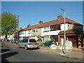
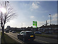
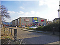
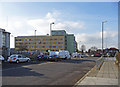
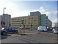
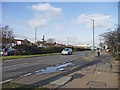
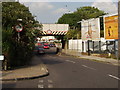
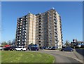
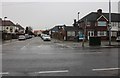
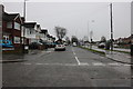
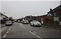
33 photos from this area
Area Information
Key information about the EN1 1LL including its size, population, and administrative classification.
- Area Type
- Postcode
- Area Size
- 4716 m²
- Population
- 1923
- Population Density
- 4949 people/km²
House Prices in EN1 1LL
21
Properties
£302,073
Average Sold Price
£70,000
Lowest Price
£495,000
Highest Price
Showing 21 properties
| Address | Type | Beds | Baths | Last Sale Price | Last Sale Date | |
|---|---|---|---|---|---|---|
| 140 Lincoln Road, Enfield, EN1 1LL | Terraced | 2 | 1 | £380,000 | Dec 2024 | |
| 138 Lincoln Road, Enfield, EN1 1LL | Terraced | 4 | 2 | £495,000 | Jun 2024 | |
| 146 Lincoln Road, Enfield, EN1 1LL | Terraced | 3 | 1 | £440,000 | Sep 2023 | |
| 114 Lincoln Road, Enfield, EN1 1LL | Retail | 3 | 1 | £450,000 | Sep 2022 | |
| 136 Lincoln Road, Enfield, EN1 1LL | Terraced | 2 | 1 | £482,000 | Feb 2022 | |
| 142 Lincoln Road, Enfield, EN1 1LL | Terraced | 2 | 1 | £367,000 | Sep 2019 | |
| 134 Lincoln Road, Enfield, EN1 1LL | Terraced | 2 | 1 | £400,000 | Jan 2017 | |
| 144 Lincoln Road, Enfield, EN1 1LL | Terraced | 3 | - | £240,000 | Nov 2012 | |
| 130 Lincoln Road, Enfield, EN1 1LL | Terraced | 2 | 1 | £248,000 | Mar 2008 | |
| 128 Lincoln Road, Enfield, EN1 1LL | Terraced | 3 | 1 | £172,000 | Jun 2003 |
Page 1 of 3
Energy Efficiency in EN1 1LL
Amenities
Schools
| Rank | School | Type | Entry gender | Ages |
|---|
Explore more schools in this area
Go to Schools tabDemographics
Household Size
Family (3-5 people)
most common
Accommodation Type
Houses
most common
Tenure
65
majority
Ethnic Group
White
most common
Religion
N/A
most common
Household Composition
N/A
most common
Age
47
median
Adults (30-64 years)
most common
Household Deprivation
N/A
with no deprivation
NS-SEC
32
in Lower managerial occupations
Explore more demographic insights in this area
Go to Demographics tabPlanning
Planning Constraints
- Flood RiskPremium
- Ramsar Wetland SitesPremium
- Area of Outstanding Natural BeautyPremium
- Protected Nature ReservePremium
- Protected WoodlandPremium