Area Overview for EN1 1HA
Photos of EN1 1HA
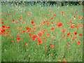
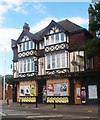
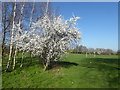
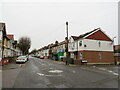
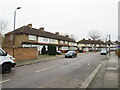
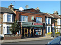
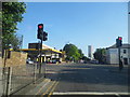
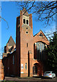
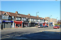
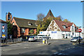
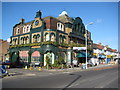
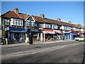
21 photos from this area
Area Information
Key information about the EN1 1HA including its size, population, and administrative classification.
- Area Type
- Postcode
- Area Size
- 8841 m²
- Population
- 1588
- Population Density
- 8049 people/km²
House Prices in EN1 1HA
27
Properties
£298,033
Average Sold Price
£78,500
Lowest Price
£530,000
Highest Price
Showing 27 properties
| Address | Type | Beds | Baths | Last Sale Price | Last Sale Date | |
|---|---|---|---|---|---|---|
| 24 Lathkill Close, Enfield, EN1 1HA | house | - | - | £410,000 | Sep 2023 | |
| 19 Lathkill Close, Enfield, EN1 1HA | Retail | 3 | 1 | £465,000 | Feb 2023 | |
| 5 Lathkill Close, Enfield, EN1 1HA | Terraced | 3 | 2 | £517,000 | May 2022 | |
| 12 Lathkill Close, Enfield, EN1 1HA | Retail | 5 | 2 | £530,000 | Feb 2022 | |
| 6 Lathkill Close, Enfield, EN1 1HA | house | - | - | £440,000 | Sep 2021 | |
| 10 Lathkill Close, Enfield, EN1 1HA | Terraced | 3 | 1 | £405,000 | Nov 2016 | |
| 15 Lathkill Close, Enfield, EN1 1HA | house | 2 | - | £390,100 | Sep 2016 | |
| 25 Lathkill Close, Enfield, EN1 1HA | Terraced | 3 | - | £385,000 | Dec 2015 | |
| 14 Lathkill Close, Enfield, EN1 1HA | Terraced | 2 | 1 | £218,000 | May 2013 | |
| 18 Lathkill Close, Enfield, EN1 1HA | house | - | - | £232,000 | Dec 2012 |
Page 1 of 3
Energy Efficiency in EN1 1HA
Amenities
Schools
| Rank | School | Type | Entry gender | Ages |
|---|
Explore more schools in this area
Go to Schools tabDemographics
Household Size
Family (3-5 people)
most common
Accommodation Type
Houses
most common
Tenure
54
majority
Ethnic Group
White
most common
Religion
N/A
most common
Household Composition
N/A
most common
Age
47
median
Adults (30-64 years)
most common
Household Deprivation
N/A
with no deprivation
NS-SEC
25
in Lower managerial occupations
Explore more demographic insights in this area
Go to Demographics tabPlanning
Planning Constraints
- Flood RiskPremium
- Ramsar Wetland SitesPremium
- Area of Outstanding Natural BeautyPremium
- Protected Nature ReservePremium
- Protected WoodlandPremium