Area Overview for EN1 1HB
Photos of EN1 1HB
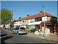
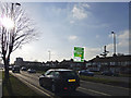
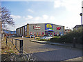
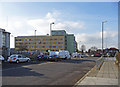
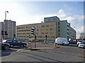
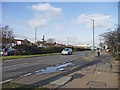
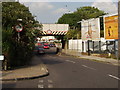
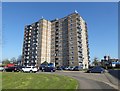
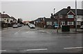
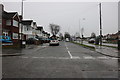
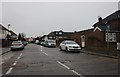
33 photos from this area
Area Information
Key information about the EN1 1HB including its size, population, and administrative classification.
- Area Type
- Postcode
- Area Size
- 1.6 hectares
- Population
- 1588
- Population Density
- 8049 people/km²
House Prices in EN1 1HB
23
Properties
£262,422
Average Sold Price
£56,750
Lowest Price
£499,995
Highest Price
Showing 23 properties
| Address | Type | Beds | Baths | Last Sale Price | Last Sale Date | |
|---|---|---|---|---|---|---|
| 18 Dimsdale Drive, Enfield, EN1 1HB | Terraced | 2 | 1 | £390,000 | Nov 2023 | |
| 12 Dimsdale Drive, Enfield, EN1 1HB | house | - | - | £437,000 | Sep 2022 | |
| 121 Dimsdale Drive, Enfield, EN1 1HB | Terraced | 3 | 2 | £499,995 | Aug 2021 | |
| 10 Dimsdale Drive, Enfield, EN1 1HB | house | - | - | £387,000 | Mar 2021 | |
| 123 Dimsdale Drive, Enfield, EN1 1HB | Terraced | 3 | 1 | £355,000 | Oct 2019 | |
| 28 Dimsdale Drive, Enfield, EN1 1HB | Terraced | 3 | 1 | £363,000 | Sep 2018 | |
| 6 Dimsdale Drive, Enfield, EN1 1HB | Terraced | 3 | 1 | £425,000 | Jul 2018 | |
| 16 Dimsdale Drive, Enfield, EN1 1HB | Terraced | 3 | 1 | £336,000 | Oct 2016 | |
| 26 Dimsdale Drive, Enfield, EN1 1HB | house | 3 | - | £210,000 | Oct 2011 | |
| 4 Dimsdale Drive, Enfield, EN1 1HB | Terraced | 3 | 1 | £170,000 | Apr 2006 |
Page 1 of 3
Energy Efficiency in EN1 1HB
Amenities
Schools
| Rank | School | Type | Entry gender | Ages |
|---|
Explore more schools in this area
Go to Schools tabDemographics
Household Size
Family (3-5 people)
most common
Accommodation Type
Houses
most common
Tenure
54
majority
Ethnic Group
White
most common
Religion
N/A
most common
Household Composition
N/A
most common
Age
47
median
Adults (30-64 years)
most common
Household Deprivation
N/A
with no deprivation
NS-SEC
25
in Lower managerial occupations
Explore more demographic insights in this area
Go to Demographics tabPlanning
Planning Constraints
- Flood RiskPremium
- Ramsar Wetland SitesPremium
- Area of Outstanding Natural BeautyPremium
- Protected Nature ReservePremium
- Protected WoodlandPremium