Area Overview for E6 3SL
Photos of E6 3SL
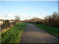


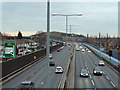
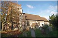
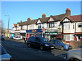
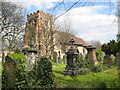
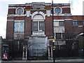
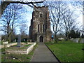
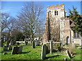
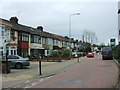
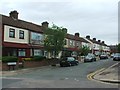
67 photos from this area
Area Information
Key information about the E6 3SL including its size, population, and administrative classification.
- Area Type
- Postcode
- Area Size
- 9365 m²
- Population
- 2022
- Population Density
- 12559 people/km²
House Prices in E6 3SL
42
Properties
£267,375
Average Sold Price
£10,000
Lowest Price
£525,000
Highest Price
Showing 42 properties
| Address | Type | Beds | Baths | Last Sale Price | Last Sale Date | |
|---|---|---|---|---|---|---|
| 184 Roman Road, East Ham, London, E6 3SL | Terraced | 3 | 1 | £525,000 | Dec 2025 | |
| 238 Roman Road, East Ham, London, E6 3SL | Terraced | 3 | 1 | £420,000 | Jul 2025 | |
| 230 Roman Road, East Ham, London, E6 3SL | house | - | - | £450,000 | Sep 2024 | |
| 182 Roman Road, East Ham, London, E6 3SL | Terraced | 3 | 1 | £455,000 | Apr 2023 | |
| 226 Roman Road, East Ham, London, E6 3SL | house | - | - | £415,000 | Sep 2020 | |
| 192 Roman Road, East Ham, London, E6 3SL | Terraced | 3 | - | £403,000 | Jul 2020 | |
| 188 Roman Road, East Ham, London, E6 3SL | Terraced | 3 | - | £325,000 | May 2019 | |
| 210 Roman Road, East Ham, London, E6 3SL | Terraced | 3 | 1 | £350,000 | May 2019 | |
| 232 Roman Road, East Ham, London, E6 3SL | house | - | - | £465,000 | Mar 2019 | |
| 240 Roman Road, East Ham, London, E6 3SL | Terraced | 5 | 1 | £365,000 | Feb 2019 |
Page 1 of 5
Energy Efficiency in E6 3SL
Amenities
Schools
| Rank | School | Type | Entry gender | Ages |
|---|
Explore more schools in this area
Go to Schools tabDemographics
Household Size
Family (3-5 people)
most common
Accommodation Type
Houses
most common
Tenure
52
majority
Ethnic Group
asian_total
most common
Religion
N/A
most common
Household Composition
N/A
most common
Age
47
median
Adults (30-64 years)
most common
Household Deprivation
N/A
with no deprivation
NS-SEC
20
in Lower managerial occupations
Explore more demographic insights in this area
Go to Demographics tabPlanning
Planning Constraints
- Flood RiskPremium
- Ramsar Wetland SitesPremium
- Area of Outstanding Natural BeautyPremium
- Protected Nature ReservePremium
- Protected WoodlandPremium