Area Overview for E18 1QH
Photos of E18 1QH
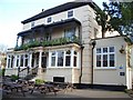
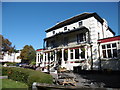
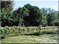
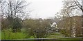
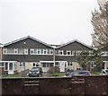
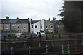
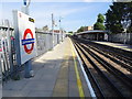
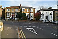
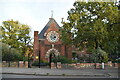
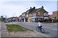
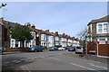
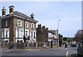
37 photos from this area
Area Information
Key information about the E18 1QH including its size, population, and administrative classification.
- Area Type
- Postcode
- Area Size
- 8067 m²
- Population
- 2105
- Population Density
- 3960 people/km²
House Prices in E18 1QH
36
Properties
£382,950
Average Sold Price
£64,000
Lowest Price
£815,000
Highest Price
Showing 36 properties
| Address | Type | Beds | Baths | Last Sale Price | Last Sale Date | |
|---|---|---|---|---|---|---|
| 160A Hermon Hill, London, E18 1QH | Flat | - | - | £255,000 | Feb 2017 | |
| 196 Hermon Hill, London, E18 1QH | house | - | - | £815,000 | Jul 2016 | |
| 194 Hermon Hill, London, E18 1QH | house | - | - | £710,000 | Mar 2016 | |
| 132A Hermon Hill, London, E18 1QH | Flat | - | - | £310,000 | Oct 2012 | |
| 198A Hermon Hill, London, E18 1QH | house | - | - | £390,000 | Nov 2011 | |
| 140A Hermon Hill, London, E18 1QH | Flat | - | - | £320,000 | Mar 2007 | |
| 202 Hermon Hill, London, E18 1QH | Semi-detached | 6 | 4 | £630,000 | Jan 2007 | |
| 200 Hermon Hill, London, E18 1QH | house | - | - | £227,500 | Feb 2001 | |
| 138A Hermon Hill, London, E18 1QH | Flat | 1 | 1 | £64,000 | Sep 1999 | |
| 128A Hermon Hill, London, E18 1QH | Flat | - | - | £108,000 | Sep 1998 |
Page 1 of 4
Energy Efficiency in E18 1QH
Amenities
Schools
| Rank | School | Type | Entry gender | Ages |
|---|
Explore more schools in this area
Go to Schools tabDemographics
Household Size
Family (3-5 people)
most common
Accommodation Type
Flats
most common
Tenure
54
majority
Ethnic Group
White
most common
Religion
N/A
most common
Household Composition
N/A
most common
Age
47
median
Adults (30-64 years)
most common
Household Deprivation
N/A
with no deprivation
NS-SEC
47
in Lower managerial occupations
Explore more demographic insights in this area
Go to Demographics tabPlanning
Planning Constraints
- Flood RiskPremium
- Ramsar Wetland SitesPremium
- Area of Outstanding Natural BeautyPremium
- Protected Nature ReservePremium
- Protected WoodlandPremium