Area Overview for E14 0DG
Photos of E14 0DG

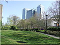
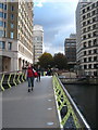
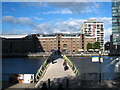
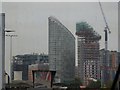
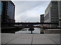


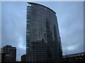
100 photos from this area
Area Information
Key information about the E14 0DG including its size, population, and administrative classification.
- Area Type
- Postcode
- Area Size
- 5837 m²
- Population
- 2232
- Population Density
- 17773 people/km²
House Prices in E14 0DG
56
Properties
£267,389
Average Sold Price
£115,000
Lowest Price
£417,000
Highest Price
Showing 56 properties
| Address | Type | Beds | Baths | Last Sale Price | Last Sale Date | |
|---|---|---|---|---|---|---|
| 40, Westcott House, East India Dock Road, London, E14 0DG | Flat | - | - | £360,000 | Jul 2025 | |
| 32, Westcott House, East India Dock Road, London, E14 0DG | Maisonette | 1 | 2 | £380,000 | Jul 2023 | |
| 19, Westcott House, East India Dock Road, London, E14 0DG | Maisonette | - | - | £295,000 | Aug 2020 | |
| 4, Westcott House, East India Dock Road, London, E14 0DG | Flat | - | - | £417,000 | Apr 2019 | |
| 29, Westcott House, East India Dock Road, London, E14 0DG | Maisonette | - | - | £380,000 | Apr 2018 | |
| 6, Westcott House, East India Dock Road, London, E14 0DG | Flat | 3 | 1 | £390,000 | Sep 2017 | |
| 12, Westcott House, East India Dock Road, London, E14 0DG | Maisonette | 3 | - | £300,000 | Mar 2016 | |
| 7, Westcott House, East India Dock Road, London, E14 0DG | Maisonette | 3 | 1 | £310,000 | Jul 2014 | |
| 21, Westcott House, East India Dock Road, London, E14 0DG | Flat | - | - | £160,000 | Jan 2014 | |
| 39, Westcott House, East India Dock Road, London, E14 0DG | Flat | 2 | 1 | £175,000 | Feb 2012 |
Page 1 of 6
Energy Efficiency in E14 0DG
Amenities
Schools
| Rank | School | Type | Entry gender | Ages |
|---|
Explore more schools in this area
Go to Schools tabDemographics
Household Size
Family (3-5 people)
most common
Accommodation Type
Flats
most common
Tenure
15
majority
Ethnic Group
asian_total
most common
Religion
N/A
most common
Household Composition
N/A
most common
Age
22
median
Adults (30-64 years)
most common
Household Deprivation
N/A
with no deprivation
NS-SEC
23
in Lower managerial occupations
Explore more demographic insights in this area
Go to Demographics tabPlanning
Planning Constraints
- Flood RiskPremium
- Ramsar Wetland SitesPremium
- Area of Outstanding Natural BeautyPremium
- Protected Nature ReservePremium
- Protected WoodlandPremium