Area Overview for E13 9EE
Photos of E13 9EE
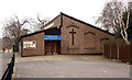
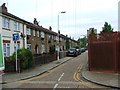
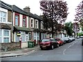
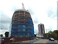
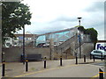
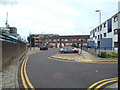
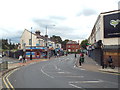
70 photos from this area
Area Information
Key information about the E13 9EE including its size, population, and administrative classification.
- Area Type
- Postcode
- Area Size
- 8300 m²
- Population
- 1645
- Population Density
- 17444 people/km²
House Prices in E13 9EE
45
Properties
£211,944
Average Sold Price
£37,000
Lowest Price
£405,000
Highest Price
Showing 45 properties
| Address | Type | Beds | Baths | Last Sale Price | Last Sale Date | |
|---|---|---|---|---|---|---|
| 6 Davis Street, Plaistow, London, E13 9EE | Terraced | 4 | 1 | £300,000 | Aug 2025 | |
| 19 Davis Street, Plaistow, London, E13 9EE | Terraced | 2 | 1 | £330,000 | May 2025 | |
| 25 Davis Street, Plaistow, London, E13 9EE | Retail | 3 | 1 | £350,000 | Feb 2022 | |
| 39 Davis Street, Plaistow, London, E13 9EE | house | - | - | £300,000 | Feb 2022 | |
| 47 Davis Street, Plaistow, London, E13 9EE | Terraced | 2 | 1 | £405,000 | Nov 2020 | |
| 41 Davis Street, Plaistow, London, E13 9EE | Terraced | 2 | 1 | £360,500 | Sep 2019 | |
| 11 Davis Street, Plaistow, London, E13 9EE | Terraced | 2 | 1 | £355,000 | Jul 2018 | |
| 35 Davis Street, Plaistow, London, E13 9EE | house | 3 | 1 | £200,000 | Mar 2016 | |
| 3 Davis Street, Plaistow, London, E13 9EE | Terraced | 4 | 1 | £314,000 | Oct 2015 | |
| 4 Davis Street, Plaistow, London, E13 9EE | Terraced | 1 | 4 | £330,000 | Sep 2015 |
Page 1 of 5
Energy Efficiency in E13 9EE
Amenities
Schools
| Rank | School | Type | Entry gender | Ages |
|---|
Explore more schools in this area
Go to Schools tabDemographics
Household Size
Family (3-5 people)
most common
Accommodation Type
Houses
most common
Tenure
42
majority
Ethnic Group
asian_total
most common
Religion
N/A
most common
Household Composition
N/A
most common
Age
47
median
Adults (30-64 years)
most common
Household Deprivation
N/A
with no deprivation
NS-SEC
21
in Lower managerial occupations
Explore more demographic insights in this area
Go to Demographics tabPlanning
Planning Constraints
- Flood RiskPremium
- Ramsar Wetland SitesPremium
- Area of Outstanding Natural BeautyPremium
- Protected Nature ReservePremium
- Protected WoodlandPremium